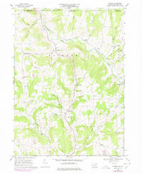
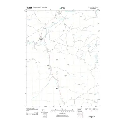
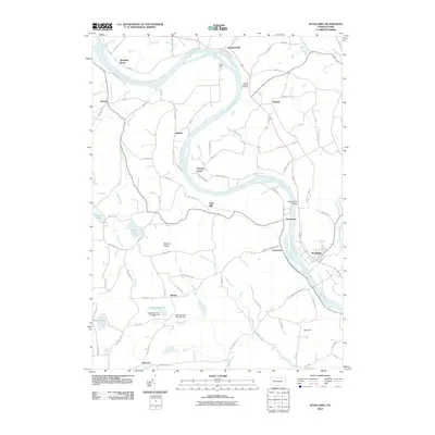
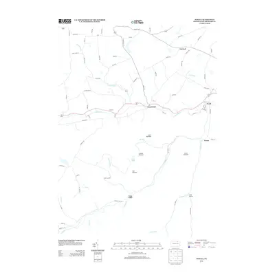
1943 Map of Powell
USGS Topo · Published 1965About this map
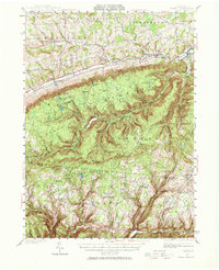
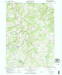
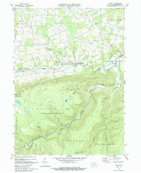
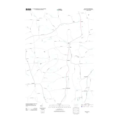
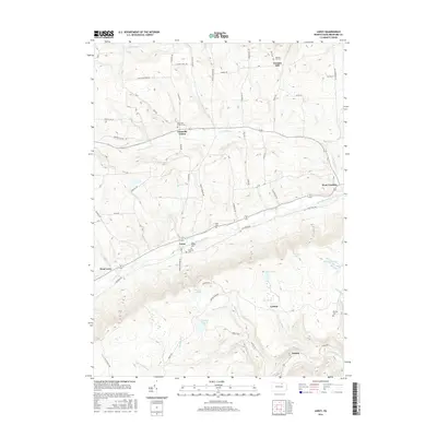
Towanda Creek carves a deep valley across this portion of Bradford and Sullivan counties, serving as the primary corridor for the Susquehanna & New York RR and U.S. Route 220. The landscape is defined by its upland plateaus and ridges, including Lameka Mtn and Sugar Ridge, where small, isolated settlements like Bumtown and Minerville persist away from the main valley floor. The distribution of Eldred Sch and Sharp Sch among clusters like Eldredsville and Campbellville reflects a mid-century rural school system still deeply integrated into local farm life.
Find a feature on this map
102 named features on this map. Tap any name to fly to it.
Don’t see what you’re looking for? This feature index may not catch every label — zoom into the map to look around manually.
Map Details
Editions of this 1943 Powell Map
2 editions found
Historical Maps of West Burlington Township Through Time
71 maps found
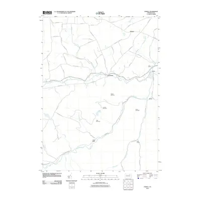
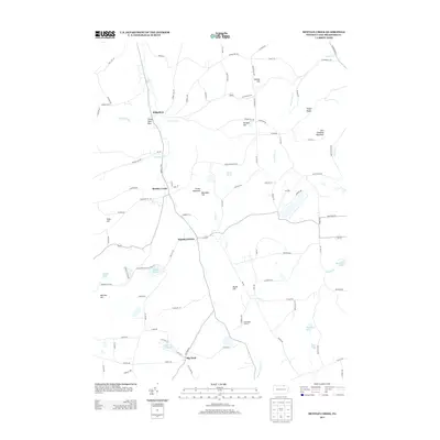
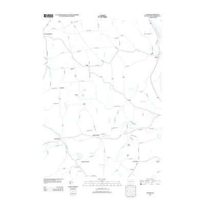
1943 Monroeton
Bradford County, PA
1943 Powell
Bradford County, PA

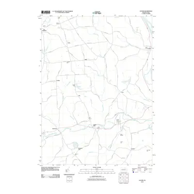
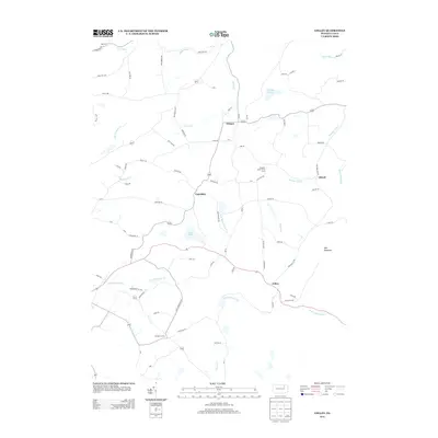
1945 Powell
Bradford County, PA
1954 Gillett
Bradford County, PA
1957 Bentley Creek
Bradford County, PA
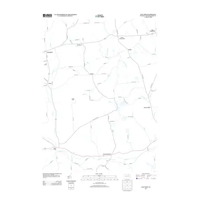
1957 East Troy
Bradford County, PA
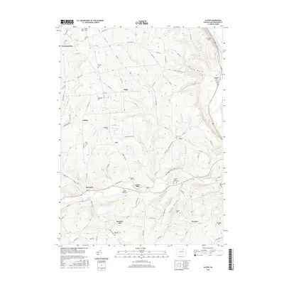
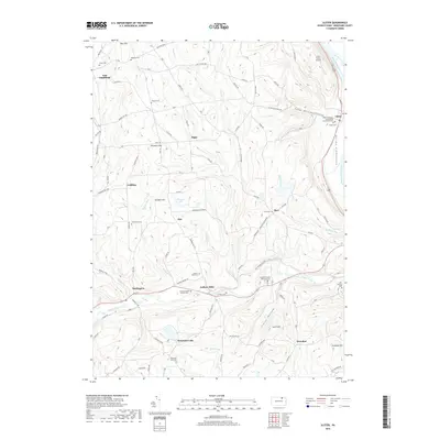
1957 Ulster
Bradford County, PA
1967 Litchfield
Bradford County, PA
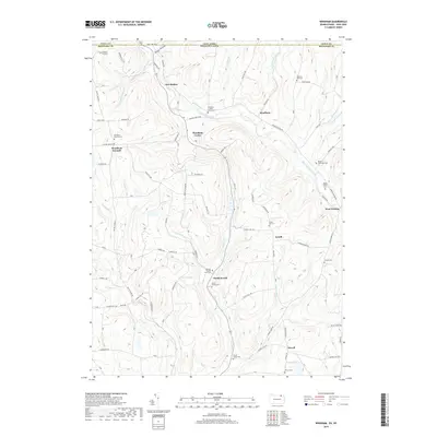
1967 Windham
Bradford County, PA
1969 Colley
Bradford County, PA
1969 Leroy
Bradford County, PA
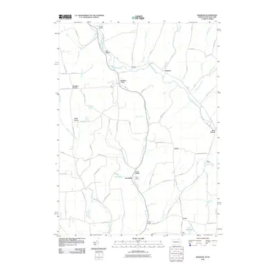
1969 Monroeton
Bradford County, PA
1969 Powell
Bradford County, PA
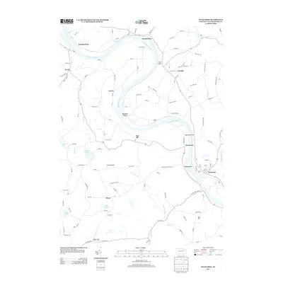
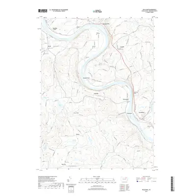
1969 Wyalusing
Bradford County, PA
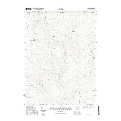
1999 Monroeton
Bradford County, PA
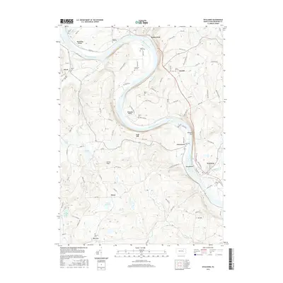
1999 Wyalusing
Bradford County, PA
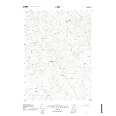
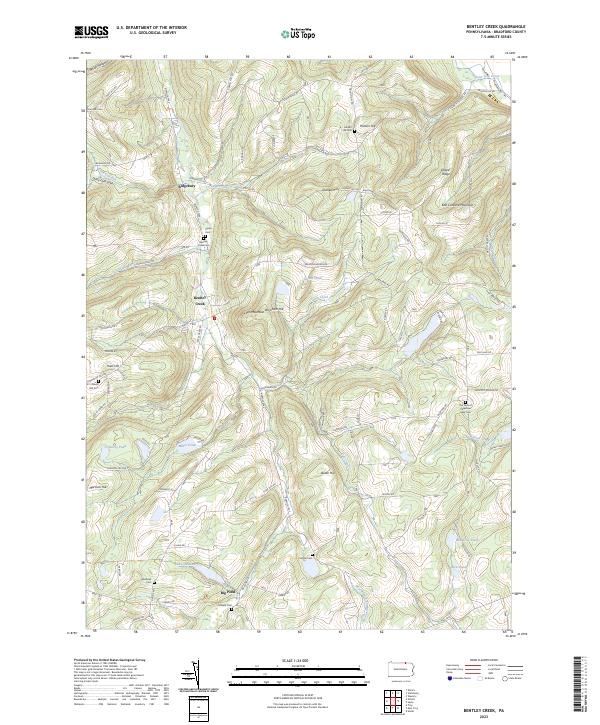
2010 Bentley Creek
Bradford County, PA
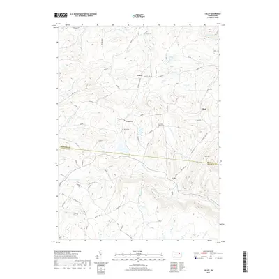
2010 Colley
Bradford County, PA
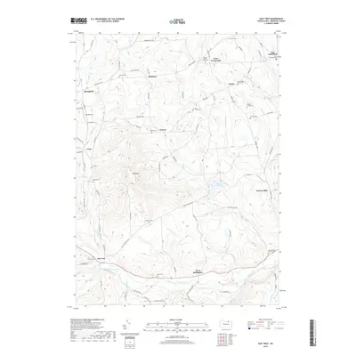
2010 East Troy
Bradford County, PA

2010 Gillett
Bradford County, PA
2010 Leroy
Bradford County, PA

2010 Litchfield
Bradford County, PA
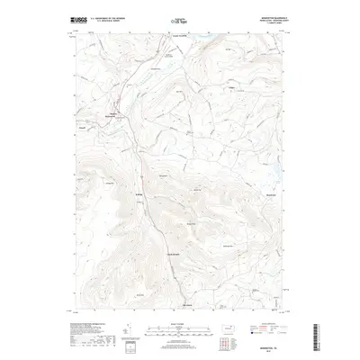
2010 Monroeton
Bradford County, PA
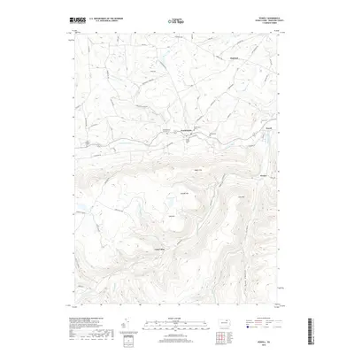
2010 Powell
Bradford County, PA
2010 Ulster
Bradford County, PA
2010 Windham
Bradford County, PA
2010 Wyalusing
Bradford County, PA
2013 Bentley Creek
Bradford County, PA
2013 Colley
Bradford County, PA
2013 East Troy
Bradford County, PA
2013 Gillett
Bradford County, PA
2013 Leroy
Bradford County, PA
2013 Litchfield
Bradford County, PA
2013 Monroeton
Bradford County, PA
2013 Powell
Bradford County, PA
2013 Ulster
Bradford County, PA
2013 Windham
Bradford County, PA
2013 Wyalusing
Bradford County, PA
2016 Bentley Creek
Bradford County, PA
2016 Colley
Bradford County, PA
2016 East Troy
Bradford County, PA
2016 Gillett
Bradford County, PA
2016 Leroy
Bradford County, PA
2016 Litchfield
Bradford County, PA
2016 Monroeton
Bradford County, PA
2016 Powell
Bradford County, PA
2016 Ulster
Bradford County, PA
2016 Windham
Bradford County, PA
2016 Wyalusing
Bradford County, PA
2019 Bentley Creek
Bradford County, PA
2019 Colley
Bradford County, PA
2019 East Troy
Bradford County, PA

2019 Gillett
Bradford County, PA

2019 Leroy
Bradford County, PA

2019 Litchfield
Bradford County, PA
2019 Monroeton
Bradford County, PA
2019 Powell
Bradford County, PA
2019 Ulster
Bradford County, PA
2019 Windham
Bradford County, PA
2019 Wyalusing
Bradford County, PA
2023 Bentley Creek
Bradford County, PA
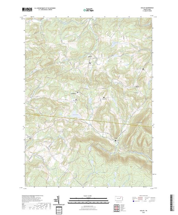
2023 Colley
Bradford County, PA
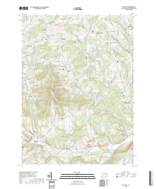
2023 East Troy
Bradford County, PA
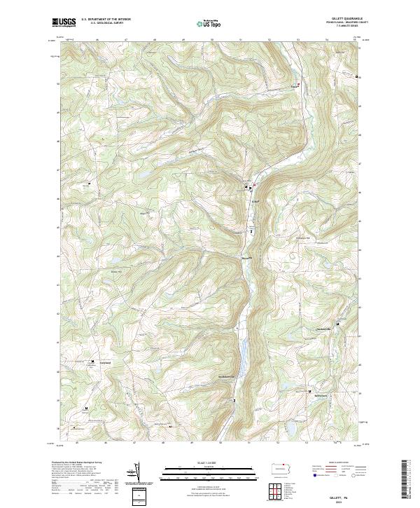
2023 Gillett
Bradford County, PA
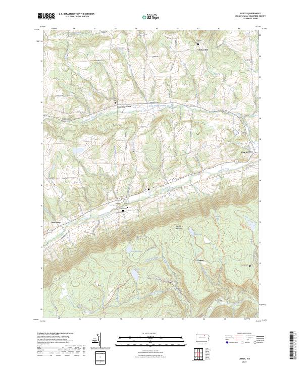
2023 Leroy
Bradford County, PA
2023 Litchfield
Bradford County, PA
2023 Monroeton
Bradford County, PA
2023 Powell
Bradford County, PA
2023 Ulster
Bradford County, PA
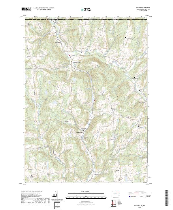
2023 Windham
Bradford County, PA
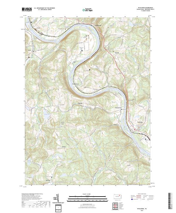
2023 Wyalusing
Bradford County, PA
Featured Locations
- Overton Township, PA
- West Burlington Township, PA
- Leroy Township, PA
- Long Valley, Franklin Township
- Weston, Monroe Township