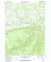
1969 Map of Powell
USGS Topo · Published 1988About this map
Towanda Creek and Schrader Creek carve parallel courses through this portion of Bradford County, defining a landscape shaped by both small-scale agriculture and resource extraction. The northern valley centers on the villages of Powell and Franklindale, where the Monroe Franklin Sch and Powell Cem served the local farming community. To the south, the topography rises sharply toward Naglee Mountain and Lamoka Mtn, much of which is preserved within State Game Lands No 12 and State Game Lands No 36. Evidence of the area's industrial past is visible in the Old Railroad Grade and several Mines and Gravel Pits. Near the southwestern corner, Barclay Station stands as a remnant of the region's mountain rail history, situated along the banks of Falls Creek.
Find a feature on this map
44 named features on this map. Tap any name to fly to it.
Don’t see what you’re looking for? This feature index may not catch every label — zoom into the map to look around manually.
Map Details
Editions of this 1969 Powell Map
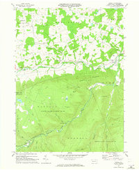
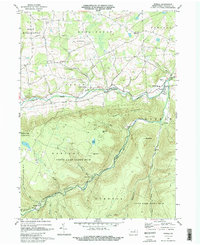
Other maps of this area

1923 · Towanda
USGS Topo · 1:62,500

1926 · Towanda
USGS Topo · 1:62,500

1939 · Sayre
USGS Topo · 1:62,500

1942 · Sayre
USGS Topo · 1:62,500

1943 · Towanda
USGS Topo · 1:62,500

1943 · Monroeton
USGS Topo · 1:62,500

1943 · Powell
USGS Topo · 1:62,500

1945 · Powell
USGS Topo · 1:62,500

1948 · Sayre
USGS Topo · 1:62,500

1954 · Williamsport
USGS Topo · 1:250,000
Featured Places
- West Burlington Township, PA
- Overton Township, PA
- Long Valley, Franklin Township
- Weston, Monroe Township
- Monroe Township, PA