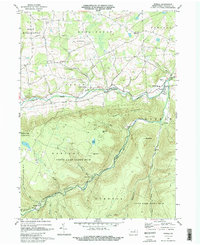
1969 Map of Powell
USGS Topo · Published 1988About this map
Towanda Creek carves a central path through this section of Bradford County, creating a valley for the Old Railroad Grade and small communities like Franklindale and Powell. This landscape is defined by the sharp transition between the agricultural lands of Franklin and West Burlington townships to the north and the heavily wooded, mountainous terrain of the State Game Lands No 36 and State Game Lands No 12 to the south.
Find a feature on this map
44 named features on this map. Tap any name to fly to it.
Don’t see what you’re looking for? This feature index may not catch every label — zoom into the map to look around manually.
Map Details
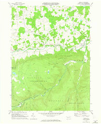
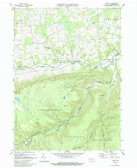
Editions of this 1969 Powell Map
Other maps of this area

1923 · Towanda
USGS Topo · 1:62,500

1926 · Towanda
USGS Topo · 1:62,500

1939 · Sayre
USGS Topo · 1:62,500

1942 · Sayre
USGS Topo · 1:62,500

1943 · Towanda
USGS Topo · 1:62,500

1943 · Monroeton
USGS Topo · 1:62,500

1943 · Powell
USGS Topo · 1:62,500

1945 · Powell
USGS Topo · 1:62,500

1948 · Sayre
USGS Topo · 1:62,500

1954 · Williamsport
USGS Topo · 1:250,000
Featured Places
- West Burlington Township, PA
- Overton Township, PA
- Long Valley, Franklin Township
- Weston, Monroe Township
- Monroe Township, PA