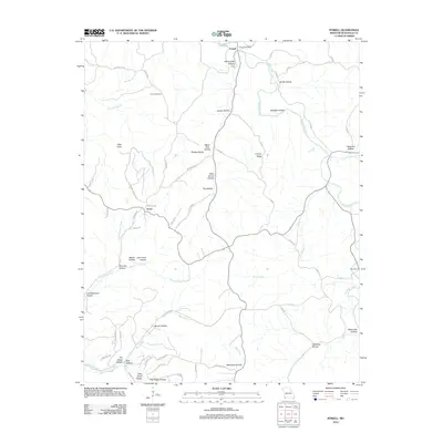
2012 Map of Powell
USGS Topo · Published 2012About this map
Big Sugar Creek carves a winding path through the Ozark landscape of McDonald County, anchoring the small community of Powell. This early 21st-century survey documents a region defined by its narrow hollows and high ridges, where the Powell Post Office remains a central landmark for the surrounding rural area. The terrain is deeply incised by numerous drainages, including Pine Creek, Missouri Creek, and the family-named Grannys Branch, creating a network of ridges such as Cooper Ridge and the Whittenburg Hills.
Find a feature on this map
69 named features on this map. Tap any name to fly to it.
Don’t see what you’re looking for? This feature index may not catch every label — zoom into the map to look around manually.
Map Details
Editions of this 2012 Powell Map
This is the sole edition of this map. No revisions or reprints were ever made.
Other maps of this area

1899 · Fayetteville
USGS Topo · 1:125,000

1901 · Fayetteville
USGS Topo · 1:125,000

1904 · Fayetteville
USGS Topo · 1:125,000

1940 · Noel
USGS Topo · 1:62,500

1941 · Rocky Comfort
USGS Topo · 1:62,500

1943 · Noel
USGS Topo · 1:62,500

1943 · Rocky Comfort
USGS Topo · 1:62,500

1954 · Tulsa
USGS Topo · 1:250,000

1958 · Pea Ridge
USGS Topo · 1:24,000

1958 · Tulsa
USGS Topo · 1:250,000