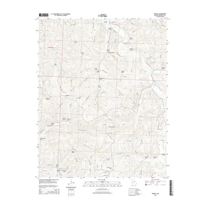
2015 Map of Powell
USGS Topo · Published 2015About this map
Big Sugar Creek and its many tributaries carve a network of steep hollows and ridges across this portion of McDonald County, creating a landscape defined by names like Whittenburg Hills and High Point. The small settlement of Powell sits at the northern edge where Sugar Creek Rd meets the water, while further south, Arnett serves as a local point of reference at the junction of several rural lanes. The area's geography is remarkably intricate, with numerous family-named landmarks such as Cowan Cemetery and Martin Hollow tucked into the drainages of Missouri Cr and Little Missouri Cr. This 2015 survey reveals a pattern of dispersed rural living, where access is maintained through narrow corridors like Laughlin Ridge Rd and Gobblers Knob Rd, reflecting a community deeply integrated with the Ozark terrain.
Find a feature on this map
113 named features on this map. Tap any name to fly to it.
Don’t see what you’re looking for? This feature index may not catch every label — zoom into the map to look around manually.
Map Details
Editions of this 2015 Powell Map
This is the sole edition of this map. No revisions or reprints were ever made.
Other maps of this area

1899 · Fayetteville
USGS Topo · 1:125,000

1901 · Fayetteville
USGS Topo · 1:125,000

1904 · Fayetteville
USGS Topo · 1:125,000

1940 · Noel
USGS Topo · 1:62,500

1941 · Rocky Comfort
USGS Topo · 1:62,500

1943 · Noel
USGS Topo · 1:62,500

1943 · Rocky Comfort
USGS Topo · 1:62,500

1954 · Tulsa
USGS Topo · 1:250,000

1958 · Pea Ridge
USGS Topo · 1:24,000

1958 · Tulsa
USGS Topo · 1:250,000