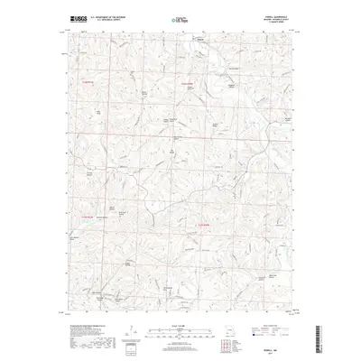
2017 Map of Powell
USGS Topo · Published 2017About this map
Big Sugar Creek carves a deep path through the dissected plateau of McDonald County, anchoring the small settlement of Powell. The landscape is defined by an intricate network of narrow valleys, or hollows, such as Rose Spring Hollow and Arch Cave Hollow, which drain into larger watercourses like Missouri Cr. These topographic features often bear local family names, providing a window into the area's settlement history.
Find a feature on this map
103 named features on this map. Tap any name to fly to it.
Don’t see what you’re looking for? This feature index may not catch every label — zoom into the map to look around manually.
Map Details
Editions of this 2017 Powell Map
This is the sole edition of this map. No revisions or reprints were ever made.
Other maps of this area

1899 · Fayetteville
USGS Topo · 1:125,000

1901 · Fayetteville
USGS Topo · 1:125,000

1904 · Fayetteville
USGS Topo · 1:125,000

1940 · Noel
USGS Topo · 1:62,500

1941 · Rocky Comfort
USGS Topo · 1:62,500

1943 · Noel
USGS Topo · 1:62,500

1943 · Rocky Comfort
USGS Topo · 1:62,500

1954 · Tulsa
USGS Topo · 1:250,000

1958 · Pea Ridge
USGS Topo · 1:24,000

1958 · Tulsa
USGS Topo · 1:250,000