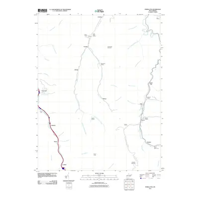
2011 Map of Powellton
USGS Topo · Published 2011About this map
Armstrong Creek and its many tributaries, including Powellton Fork and Jenkins Fork, carve through the high ridges of Fayette County in this West Virginia survey. The settlement of Powellton sits at the confluence of several branches, surrounded by coal-country landmarks like Craig Hollow and Black Gum Hollow. Further south, the map traces the narrow corridor of Paint Creek, connecting small communities such as Collinsdale, Mahan, and Coalfield. This landscape is defined by its deep hollows and steep mountain flanks, such as Armstrong Mountain and Kingston Mountain, where narrow roads like Elkridge Rd follow the natural contours of the valley floors.
Find a feature on this map
59 named features on this map. Tap any name to fly to it.
Don’t see what you’re looking for? This feature index may not catch every label — zoom into the map to look around manually.
Map Details
Editions of this 2011 Powellton Map
This is the sole edition of this map. No revisions or reprints were ever made.
Other maps of this area

1891 · Raleigh
USGS Topo · 1:125,000

1897 · Kanawha Falls
USGS Topo · 1:125,000

1897 · Raleigh
USGS Topo · 1:125,000

1900 · Kanawha Falls
USGS Topo · 1:125,000

1901 · Kanawha Falls
USGS Topo · 1:125,000

1902 · Raleigh
USGS Topo · 1:125,000

1908 · Fayetteville
USGS Topo · 1:48,000

1908 · Montgomery
USGS Topo · 1:48,000

1910 · Fayetteville
USGS Topo · 1:62,500

1910 · Montgomery
USGS Topo · 1:62,500