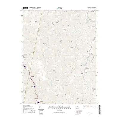
2014 Map of Powellton
USGS Topo · Published 2014About this map
Armstrong Mountain and Kingston Mountain dominate this corner of Fayette County, where the landscape is defined by a dense network of hollows and creeks. Settlements like Powellton, Elkridge, and McDunn occupy the narrow valley floors, illustrating a traditional Appalachian mountain community pattern. The presence of Cokeoven Hollow near North Page points to the industrial history of the region, while numerous family and community burial sites, including the Craig Cemeteries and Sycamore Branch Cem, are situated on higher ground or tucked into side drainages like Stover Hollow. Further south, the map details the proximity of Coalfield and Milburn along the banks of Paint Creek, reflecting the importance of water gaps for transportation and infrastructure in this high-relief terrain. The boundary between Kanawha County and Fayette County runs along the western ridge, separating the Paint Creek drainage from the western slopes.
Find a feature on this map
76 named features on this map. Tap any name to fly to it.
Don’t see what you’re looking for? This feature index may not catch every label — zoom into the map to look around manually.
Map Details
Editions of this 2014 Powellton Map
This is the sole edition of this map. No revisions or reprints were ever made.
Other maps of this area

1891 · Raleigh
USGS Topo · 1:125,000

1897 · Kanawha Falls
USGS Topo · 1:125,000

1897 · Raleigh
USGS Topo · 1:125,000

1900 · Kanawha Falls
USGS Topo · 1:125,000

1901 · Kanawha Falls
USGS Topo · 1:125,000

1902 · Raleigh
USGS Topo · 1:125,000

1908 · Fayetteville
USGS Topo · 1:48,000

1908 · Montgomery
USGS Topo · 1:48,000

1910 · Fayetteville
USGS Topo · 1:62,500

1910 · Montgomery
USGS Topo · 1:62,500