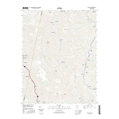
2016 Map of Powellton
USGS Topo · Published 2016About this map
The steep topography of Fayette County is defined by the narrow valleys of Paint Creek and Loop Creek, where small settlements and coal-era communities like Powellton and Elkridge are concentrated. In the north, the terrain rises toward Armstrong Mtn, while the southern reaches are marked by the high point at Payne Knob. This modern survey illustrates the persistent settlement patterns along the valley floors, with towns such as Kincaid, Page, and Mahan following the winding watercourses and road networks like Kingston RD. Local family and community history is anchored in several small burial grounds, including the Craig Cemeteries and Greencastle Cem. The landscape is etched with hollows that bear historical names like Cokeoven Hollow and Stop Hollow, reflecting the industrial and topographical character of the West Virginia coalfields near the Kanawha County line.
Find a feature on this map
71 named features on this map. Tap any name to fly to it.
Don’t see what you’re looking for? This feature index may not catch every label — zoom into the map to look around manually.
Map Details
Editions of this 2016 Powellton Map
This is the sole edition of this map. No revisions or reprints were ever made.
Other maps of this area

1891 · Raleigh
USGS Topo · 1:125,000

1897 · Kanawha Falls
USGS Topo · 1:125,000

1897 · Raleigh
USGS Topo · 1:125,000

1900 · Kanawha Falls
USGS Topo · 1:125,000

1901 · Kanawha Falls
USGS Topo · 1:125,000

1902 · Raleigh
USGS Topo · 1:125,000

1908 · Fayetteville
USGS Topo · 1:48,000

1908 · Montgomery
USGS Topo · 1:48,000

1910 · Fayetteville
USGS Topo · 1:62,500

1910 · Montgomery
USGS Topo · 1:62,500