
1954 Map of Pownal
USGS Topo · Published 1957About this map
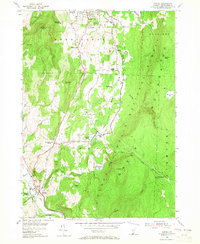
The Green Mountain National Forest dominates the eastern half of this mid-century survey, rising toward prominent heights like The Dome and Harmon Hill. In the valleys below, the landscape is defined by a dense network of local schools and family-named cemeteries, reflecting a deeply rooted rural community in transition during the 1950s. The Ethan Allen Highway and the Boston and Maine Railroad trace the path of the Hoosic River through the southwestern corner, connecting the village of Pownal to the larger center of Bennington in the north.
Find a feature on this map
46 named features on this map. Tap any name to fly to it.
Don’t see what you’re looking for? This feature index may not catch every label — zoom into the map to look around manually.
Map Details
Editions of this 1954 Pownal Map
4 editions found
Other maps of this area

1886 · Greylock
USGS Topo · 1:62,500

1888 · Berlin
USGS Topo · 1:62,500

1890 · Berlin
USGS Topo · 1:62,500

1891 · Greylock
USGS Topo · 1:62,500

1893 · Greylock
USGS Topo · 1:62,500

1894 · Berlin
USGS Topo · 1:62,500

1897 · Hoosick
USGS Topo · 1:62,500

1898 · Berlin
USGS Topo · 1:62,500

1898 · Bennington
USGS Topo · 1:62,500

1898 · Greylock
USGS Topo · 1:62,500