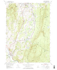
1954 Map of Pownal
USGS Topo · Published 1975About this map
Bennington and the village of Pownal anchor this mid-century portrait of southern Vermont, where the valley floors are etched with the infrastructure of the Boston and Maine Railroad and the Ethan Allen Highway. The landscape is defined by the sharp transition from agricultural valley to the high elevations of the Green Mountain National Forest, featuring landmarks like The Dome and Mount Anthony. For those tracing local social history, the map preserves a network of rural schoolhouses, including Maple Grove Sch and Barber Sch, alongside family-named burial grounds like Towsley Cem and Oak Hill Cem. The inclusion of the Long Trail and the Holy Cross Novitiate highlights the intersection of recreation and religious institutional presence in the region during the 1950s.
Find a feature on this map
52 named features on this map. Tap any name to fly to it.
Don’t see what you’re looking for? This feature index may not catch every label — zoom into the map to look around manually.
Map Details
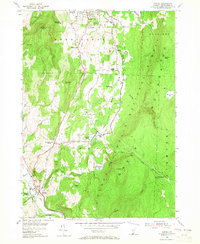
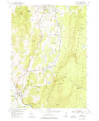
Editions of this 1954 Pownal Map
4 editions found

Other maps of this area

1886 · Greylock
USGS Topo · 1:62,500

1888 · Berlin
USGS Topo · 1:62,500

1890 · Berlin
USGS Topo · 1:62,500

1891 · Greylock
USGS Topo · 1:62,500

1893 · Greylock
USGS Topo · 1:62,500

1894 · Berlin
USGS Topo · 1:62,500

1897 · Hoosick
USGS Topo · 1:62,500

1898 · Berlin
USGS Topo · 1:62,500

1898 · Bennington
USGS Topo · 1:62,500

1898 · Greylock
USGS Topo · 1:62,500