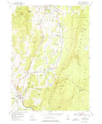
1954 Map of Pownal
USGS Topo · Published 1975About this map
The Hoosic River valley and the western edge of the Green Mountain National Forest define this mid-century Vermont landscape. The settlement pattern is concentrated along the historic Ethan Allen Highway, which links Pownal and Pownal Center with the southern outskirts of Bennington. This area serves as a rural educational and spiritual hub, evidenced by numerous local institutions such as the Beech Street Sch, Varney Sch, and the Holy Cross Novitiate.
Find a feature on this map
52 named features on this map. Tap any name to fly to it.
Don’t see what you’re looking for? This feature index may not catch every label — zoom into the map to look around manually.
Map Details
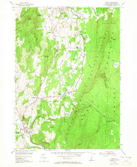
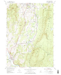
Editions of this 1954 Pownal Map
4 editions found

Other maps of this area

1886 · Greylock
USGS Topo · 1:62,500

1888 · Berlin
USGS Topo · 1:62,500

1890 · Berlin
USGS Topo · 1:62,500

1891 · Greylock
USGS Topo · 1:62,500

1893 · Greylock
USGS Topo · 1:62,500

1894 · Berlin
USGS Topo · 1:62,500

1897 · Hoosick
USGS Topo · 1:62,500

1898 · Berlin
USGS Topo · 1:62,500

1898 · Bennington
USGS Topo · 1:62,500

1898 · Greylock
USGS Topo · 1:62,500