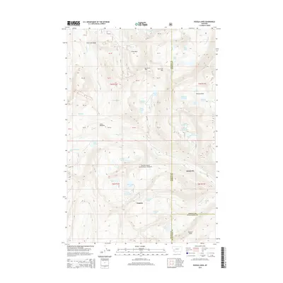
2014 Map of Pozega Lakes
USGS Topo · Published 2014About this map
The high-altitude landscape of the Flint Creek Range defines this part of the Deerlodge National Forest. This terrain is marked by a dense concentration of glacial cirque lakes and alpine basins, including the namesake Big Pozega Lake and Little Pozega Lake. Evidence of the region's mining and grazing history is preserved in labels like Tungsten and Danielsville, while landmarks such as Racetrack Peak and Racetrack Pass indicate the natural corridors used to navigate these mountains.
Find a feature on this map
65 named features on this map. Tap any name to fly to it.
Don’t see what you’re looking for? This feature index may not catch every label — zoom into the map to look around manually.
Map Details
Editions of this 2014 Pozega Lakes Map
This is the sole edition of this map. No revisions or reprints were ever made.
Other maps of this area

1889 · Helena
USGS Topo · 1:250,000

1893 · Helena
USGS Topo · 1:250,000

1899 · Helena
USGS Topo · 1:250,000

1903 · Helena
USGS Topo · 1:250,000

1908 · Philipsburg
USGS Topo · 1:125,000

1947 · Butte
USGS Topo · 1:250,000

1958 · Butte
USGS Topo · 1:250,000

1960 · Butte
USGS Topo · 1:250,000

1961 · Anaconda
USGS Topo · 1:62,500

1962 · Butte
USGS Topo · 1:250,000