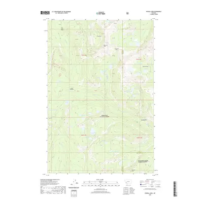
2020 Map of Pozega Lakes
USGS Topo · Published 2020About this map
Deerlodge National Forest encompasses this high-altitude landscape within the Flint Creek Range, a region defined by dramatic vertical relief and a dense concentration of alpine water bodies. The terrain is anchored by Racetrack Peak and its neighboring Racetrack Pass, which served as critical topographic markers for early travel through these mountains. The settlement of Danielsville sits on the eastern edge of the quadrangle, representing the point where the steep mountain drainages meet more accessible ground.
Find a feature on this map
64 named features on this map. Tap any name to fly to it.
Don’t see what you’re looking for? This feature index may not catch every label — zoom into the map to look around manually.
Map Details
Editions of this 2020 Pozega Lakes Map
This is the sole edition of this map. No revisions or reprints were ever made.
Other maps of this area

1889 · Helena
USGS Topo · 1:250,000

1893 · Helena
USGS Topo · 1:250,000

1899 · Helena
USGS Topo · 1:250,000

1903 · Helena
USGS Topo · 1:250,000

1908 · Philipsburg
USGS Topo · 1:125,000

1947 · Butte
USGS Topo · 1:250,000

1958 · Butte
USGS Topo · 1:250,000

1960 · Butte
USGS Topo · 1:250,000

1961 · Anaconda
USGS Topo · 1:62,500

1962 · Butte
USGS Topo · 1:250,000