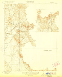
1912 Map of Prairie Creek
USGS Topo · Published 1922About this map
Honcut stands at the western edge of this early 20th-century topographic study, marking the transition from the valley floor to the foothills where Butte Co Yuba Co share a boundary. The landscape is defined by the drainage systems of North Honcut Creek and South Honcut Creek, which carve through the rising elevation. This preliminary edition highlights the established network of early transport routes that connected the mining and ranching districts of the Sierra Nevada foothills to the larger valley hubs, including the Marysville and Laporte Road and Bangor Road.
Find a feature on this map
13 named features on this map. Tap any name to fly to it.
Don’t see what you’re looking for? This feature index may not catch every label — zoom into the map to look around manually.
Map Details
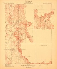
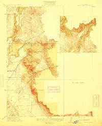
Editions of this 1912 Prairie Creek Map
3 editions found
Other maps of this area

1888 · Marysville
USGS Topo · 1:125,000

1888 · Smartsville
USGS Topo · 1:125,000

1891 · Marysville
USGS Topo · 1:125,000

1891 · Smartsville
USGS Topo · 1:125,000

1892 · Smartsville
USGS Topo · 1:125,000

1894 · Smartsville
USGS Topo · 1:125,000

1894 · Marysville
USGS Topo · 1:125,000

1895 · Marysville
USGS Topo · 1:125,000

1895 · Smartsville
USGS Topo · 1:125,000

1911 · Browns Valley
USGS Topo · 1:31,680