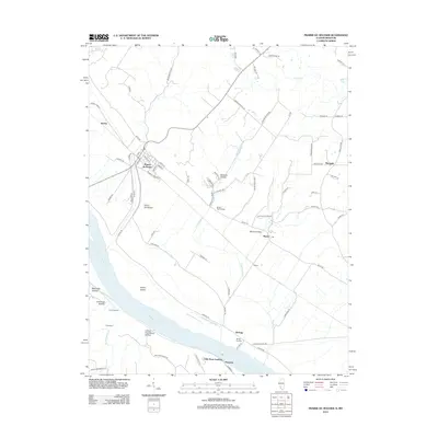
2012 Map of Prairie du Rocher
USGS Topo · Published 2012About this map
The historic village of Prairie du Rocher sits at the foot of the bluffs, where a dense grid of streets like Main St and Duclos St transitions into the fertile bottomlands of the Mississippi River. This landscape is defined by the sharp contrast between the alluvial plain and the upland ridges, where several hollows—including Barbeau Hollow and Lower Frenchman Hollow—cut through the terrain. Evidence of ancient and modern occupation is visible at the Modoc Rock Shelter, a significant archaeological site located along Bluff Rd. Downstream, the riverbank is dotted with transport and commerce points such as Kellogg, Mudds Landing, and Little Rock Landing near Thomure, illustrating the long-standing reliance on the river for navigation and local industry. Drainage systems like The Discharge manage the water levels across the low-lying Turkey Island area.
Find a feature on this map
73 named features on this map. Tap any name to fly to it.
Don’t see what you’re looking for? This feature index may not catch every label — zoom into the map to look around manually.
Map Details
Editions of this 2012 Prairie du Rocher Map
This is the sole edition of this map. No revisions or reprints were ever made.
Other maps of this area

1907 · Weingarten
USGS Topo · 1:62,500

1909 · Weingarten
USGS Topo · 1:62,500

1912 · Baldwin
USGS Topo · 1:62,500

1914 · Baldwin
USGS Topo · 1:62,500

1915 · Renault
USGS Topo · 1:62,500

1915 · Chester
USGS Topo · 1:62,500

1940 · Renault
USGS Topo · 1:62,500

1942 · Baldwin
USGS Topo · 1:62,500

1947 · Chester
USGS Topo · 1:62,500

1949 · Saint Louis
USGS Topo · 1:250,000