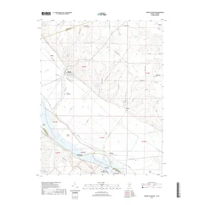
2018 Map of Prairie du Rocher
USGS Topo · Published 2018About this map
Prairie du Rocher and Ste. Genevieve anchor this riverfront landscape, which straddles the Mississippi River boundary between Illinois and Missouri. The terrain is defined by a sharp contrast between the expansive alluvial bottomlands and the dissected bluffs to the northeast. Within these uplands, natural features like Cow-Shank Natural Bridge and numerous hollows such as Barbeau Hollow and Stamm Hollow cut through the limestone.
Find a feature on this map
73 named features on this map. Tap any name to fly to it.
Don’t see what you’re looking for? This feature index may not catch every label — zoom into the map to look around manually.
Map Details
Editions of this 2018 Prairie du Rocher Map
This is the sole edition of this map. No revisions or reprints were ever made.
Other maps of this area

1907 · Weingarten
USGS Topo · 1:62,500

1909 · Weingarten
USGS Topo · 1:62,500

1912 · Baldwin
USGS Topo · 1:62,500

1914 · Baldwin
USGS Topo · 1:62,500

1915 · Renault
USGS Topo · 1:62,500

1915 · Chester
USGS Topo · 1:62,500

1940 · Renault
USGS Topo · 1:62,500

1942 · Baldwin
USGS Topo · 1:62,500

1947 · Chester
USGS Topo · 1:62,500

1949 · Saint Louis
USGS Topo · 1:250,000