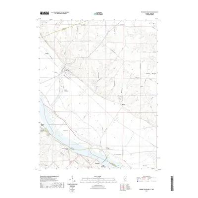
2021 Map of Prairie du Rocher
USGS Topo · Published 2021About this map
Mississippi River floodplains and the dramatic bluffs of the American Bottom define this section of the border between Illinois and Missouri. The village of Prairie du Rocher sits at the foot of these limestone cliffs, where long-established land patterns are still visible in the drainage of The Discharge and the winding course of Prairie du Rocher Cr. The map captures the transition from the low-lying agricultural lands protected by the Levee Rd to the upland plateaus near Ruma and Marigold.
Find a feature on this map
72 named features on this map. Tap any name to fly to it.
Don’t see what you’re looking for? This feature index may not catch every label — zoom into the map to look around manually.
Map Details
Editions of this 2021 Prairie du Rocher Map
This is the sole edition of this map. No revisions or reprints were ever made.
Other maps of this area

1907 · Weingarten
USGS Topo · 1:62,500

1909 · Weingarten
USGS Topo · 1:62,500

1912 · Baldwin
USGS Topo · 1:62,500

1914 · Baldwin
USGS Topo · 1:62,500

1915 · Renault
USGS Topo · 1:62,500

1915 · Chester
USGS Topo · 1:62,500

1940 · Renault
USGS Topo · 1:62,500

1942 · Baldwin
USGS Topo · 1:62,500

1947 · Chester
USGS Topo · 1:62,500

1949 · Saint Louis
USGS Topo · 1:250,000