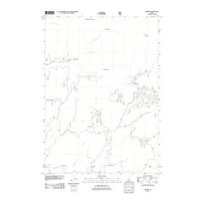
2011 Map of Prairie
USGS Topo · Published 2011About this map
The high-desert settlement of Prairie serves as the focal point for this 2011 survey of the Idaho backcountry. Located in Elmore County, the landscape is defined by the significant elevations of Rattlesnake Mountain and Lava Mountain, which anchor a complex network of drainages and gulches. Seasonal waterways including Strawberry Creek, Smith Creek, and Rattlesnake Creek carve through the terrain, illustrating the hydrologic patterns essential to the region's ranching and recreation history.
Find a feature on this map
30 named features on this map. Tap any name to fly to it.
Don’t see what you’re looking for? This feature index may not catch every label — zoom into the map to look around manually.
Map Details
Editions of this 2011 Prairie Map
This is the sole edition of this map. No revisions or reprints were ever made.
Other maps of this area

1892 · Mountain Home
USGS Topo · 1:125,000

1892 · Camas Prairie
USGS Topo · 1:125,000

1893 · Mountain Home
USGS Topo · 1:125,000

1893 · Camas Prairie
USGS Topo · 1:125,000

1894 · Idaho Basin
USGS Topo · 1:125,000

1894 · Rocky Bar
USGS Topo · 1:125,000

1955 · Hailey
USGS Topo · 1:250,000

1959 · Hailey
USGS Topo · 1:250,000

1960 · Danskin Peak
USGS Topo · 1:62,500

1962 · Hailey
USGS Topo · 1:250,000