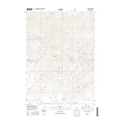
2013 Map of Prairie
USGS Topo · Published 2013About this map
Prairie and Smith Prairie sit at the southern end of a complex drainage network within the Boise National Forest. The landscape is defined by deep incisions like Wylie Gulch and Baker Gulch that funnel toward Smith Cr, while the northern terrain rises toward the heights of Rattlesnake Mtn and Lava Mtn. This 2013 survey illustrates the remote infrastructure of Elmore County, showing the Smith Prairie Airport and Tipton Flat Campground as primary recreational and transit nodes.
Find a feature on this map
37 named features on this map. Tap any name to fly to it.
Don’t see what you’re looking for? This feature index may not catch every label — zoom into the map to look around manually.
Map Details
Editions of this 2013 Prairie Map
This is the sole edition of this map. No revisions or reprints were ever made.
Other maps of this area

1892 · Mountain Home
USGS Topo · 1:125,000

1892 · Camas Prairie
USGS Topo · 1:125,000

1893 · Mountain Home
USGS Topo · 1:125,000

1893 · Camas Prairie
USGS Topo · 1:125,000

1894 · Idaho Basin
USGS Topo · 1:125,000

1894 · Rocky Bar
USGS Topo · 1:125,000

1955 · Hailey
USGS Topo · 1:250,000

1959 · Hailey
USGS Topo · 1:250,000

1960 · Danskin Peak
USGS Topo · 1:62,500

1962 · Hailey
USGS Topo · 1:250,000