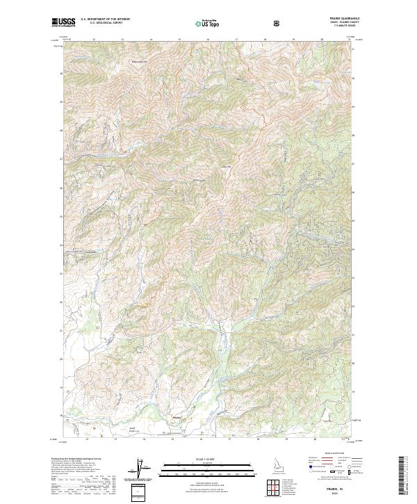
2023 Map of Prairie
USGS Topo · Published 2023About this map
Prairie and the surrounding high country of the Boise National Forest define this 2023 survey of Elmore County. The landscape is marked by a transition from the level terrain of Smith Prairie in the south to the complex drainage systems and peaks of the northern interior. Significant elevations such as Rattlesnake Mtn and Lava Mtn overlook a dense network of gulches and creeks, including Rattlesnake Creek and Smith Creek. The area is accessible via the Prairie-Pine Road and an extensive system of backcountry routes like the Lava Ridge Trail and Devils Creek Trail. To the northeast, high-elevation water bodies like North Star Lake and Potter Lake sit near the edges of the Boise National Forest, illustrating the remote character of this mountainous region and its importance for modern forest management and recreation.
Find a feature on this map
40 named features on this map. Tap any name to fly to it.
Don’t see what you’re looking for? This feature index may not catch every label — zoom into the map to look around manually.
Map Details
Editions of this 2023 Prairie Map
This is the sole edition of this map. No revisions or reprints were ever made.
Other maps of this area

1892 · Mountain Home
USGS Topo · 1:125,000

1892 · Camas Prairie
USGS Topo · 1:125,000

1893 · Mountain Home
USGS Topo · 1:125,000

1893 · Camas Prairie
USGS Topo · 1:125,000

1894 · Idaho Basin
USGS Topo · 1:125,000

1894 · Rocky Bar
USGS Topo · 1:125,000

1955 · Hailey
USGS Topo · 1:250,000

1959 · Hailey
USGS Topo · 1:250,000

1960 · Danskin Peak
USGS Topo · 1:62,500

1962 · Hailey
USGS Topo · 1:250,000