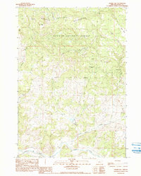
1990 Map of Prairie Hill
USGS Topo · Published 1990About this map
The Ochoco Mountains dominate this central Oregon landscape, where the southern reaches of the Ochoco National Forest give way to the winding course of the Crooked River. This 1986 field-checked survey reveals a high-elevation environment defined by water management and resource extraction, evidenced by numerous named water sources like Sand Spring and Pipe Spring. The presence of several quarry sites and a network of 4WD trails suggest a region utilized for both industry and backcountry access.
Find a feature on this map
21 named features on this map. Tap any name to fly to it.
Don’t see what you’re looking for? This feature index may not catch every label — zoom into the map to look around manually.
Map Details
Editions of this 1990 Prairie Hill Map
This is the sole edition of this map. No revisions or reprints were ever made.
Other maps of this area

1951 · Post
USGS Topo · 1:62,500

1951 · Lookout Mtn
USGS Topo · 1:62,500

1955 · Bend
USGS Topo · 1:250,000

1957 · Bend
USGS Topo · 1:250,000

1958 · Bend
USGS Topo · 1:250,000

1965 · Williams Prairie
USGS Topo · 1:24,000

1981 · Prineville
USGS Topo · 1:100,000

1982 · Arrowwood Point
USGS Topo · 1:24,000
1983 · Committee Creek
USGS Topo · 1:24,000
1990 · Lookout Mountain
USGS Topo · 1:24,000