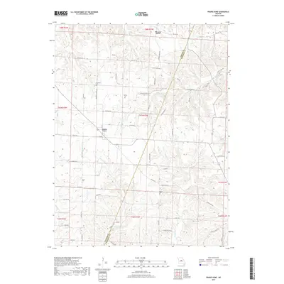
2017 Map of Prairie Home
USGS Topo · Published 2017About this map
Prairie Home and Pleasant Grove serve as the primary community centers in this portion of central Missouri, situated where the high ground of the Missouri River watershed begins to break into numerous creek drainages. The landscape is defined by its agricultural layout, with the Cooper Co Moniteau Co boundary line cutting through the center of the survey. Family history and early rural development are preserved through sites like the Robinson School Rd and several historic burial grounds, including Providence Cem to the northwest and Harris Cem to the south.
Find a feature on this map
103 named features on this map. Tap any name to fly to it.
Don’t see what you’re looking for? This feature index may not catch every label — zoom into the map to look around manually.
Map Details
Editions of this 2017 Prairie Home Map
This is the sole edition of this map. No revisions or reprints were ever made.
Other maps of this area

1886 · Jefferson City
USGS Topo · 1:125,000

1888 · Boonville
USGS Topo · 1:125,000

1894 · Jefferson City
USGS Topo · 1:125,000

1947 · Jefferson City
USGS Topo · 1:250,000

1948 · Centertown
USGS Topo · 1:62,500

1948 · Columbia
USGS Topo · 1:62,500
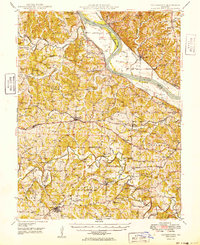
1949 · Centertown
USGS Topo · 1:62,500

1950 · Columbia
USGS Topo · 1:62,500

1952 · Rocheport
USGS Topo · 1:24,000

1952 · Boonville
USGS Topo · 1:24,000