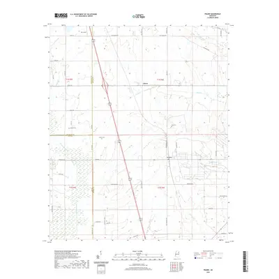
2020 Map of Prairie
USGS Topo · Published 2020About this map
Prairie and Gibson sit at the intersection of several historic boundaries where Monroe, Chickasaw, and Clay counties meet. This agricultural landscape is defined by the winding course of Chuquatonchee Cr and its tributaries, including James Cr and Hang Kettle Cr. The rural character of the area is underscored by the presence of small family and community burial grounds such as Patterson Cem, Coleman Cem, and Reedy Cem.
Find a feature on this map
53 named features on this map. Tap any name to fly to it.
Don’t see what you’re looking for? This feature index may not catch every label — zoom into the map to look around manually.
Map Details
Editions of this 2020 Prairie Map
This is the sole edition of this map. No revisions or reprints were ever made.
Other maps of this area

1953 · West Point
USGS Topo · 1:250,000

1958 · West Point
USGS Topo · 1:250,000

1959 · West Point
USGS Topo · 1:62,500

1959 · Van Vleet
USGS Topo · 1:62,500

1959 · Pheba
USGS Topo · 1:62,500

1963 · West Point
USGS Topo · 1:250,000

1965 · Egypt
USGS Topo · 1:24,000

1966 · Aberdeen
USGS Topo · 1:24,000

1966 · Wren
USGS Topo · 1:24,000

1966 · Prairie
USGS Topo · 1:24,000