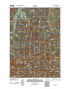
2011 Map of Prairie Peak
USGS Topo · Published 2011About this map
Prairie Peak and Prairie Mountain anchor this high-elevation terrain in Lane County, where the headwaters of several major drainages originate. The landscape is defined by the complex hydrology of the South Fork Alsea River and the East Fork Lobster Creek, with deep drainages such as Billy Tower Canyon cutting through the ridges. A network of timber and access roads, including Bummer Creek Rd and the Fall Creek Access Rd, crisscrosses the slopes, providing passage through remote points like Gunsight Pass.
Find a feature on this map
56 named features on this map. Tap any name to fly to it.
Don’t see what you’re looking for? This feature index may not catch every label — zoom into the map to look around manually.
Map Details
Editions of this 2011 Prairie Peak Map
This is the sole edition of this map. No revisions or reprints were ever made.
Other maps of this area

1909 · Elmira
USGS Topo · 1:62,500

1922 · Monroe
USGS Topo · 1:62,500

1922 · Elmira
USGS Topo · 1:62,500

1939 · Monroe
USGS Topo · 1:62,500

1941 · Blachly
USGS Topo · 1:62,500

1942 · Alsea
USGS Topo · 1:62,500

1942 · Elmira
USGS Topo · 1:62,500

1942 · Blachly
USGS Topo · 1:62,500

1942 · Monroe
USGS Topo · 1:62,500

1953 · Salem
USGS Topo · 1:250,000