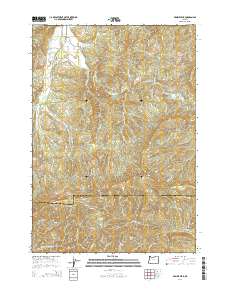
2014 Map of Prairie Peak
USGS Topo · Published 2014About this map
Prairie Peak and Prairie Mountain anchor the high elevations of the Oregon Coast Range along the border of Benton and Lane counties. This 2014 survey details a complex network of forest management routes, including the London Cutoff and numerous Bureau of Land Management roads such as BLM 15-7-7, which navigate the steep drainage basins of the South Fork Alsea River. The landscape is defined by its industrial timber history, evidenced by the intricate ridge-and-canyon topography like Bummer Ridge and Billy Tower Canyon. Small-scale water management is visible at the Gygi and Engle Reservoir on Bummer Creek, while the Alsea-Deadwood Highway provides the primary transit corridor through the western portion of the quadrangle. These features illustrate the intersection of mountainous terrain and the infrastructure required for resource extraction and rural access in the Pacific Northwest.
Find a feature on this map
54 named features on this map. Tap any name to fly to it.
Don’t see what you’re looking for? This feature index may not catch every label — zoom into the map to look around manually.
Map Details
Editions of this 2014 Prairie Peak Map
This is the sole edition of this map. No revisions or reprints were ever made.
Other maps of this area

1909 · Elmira
USGS Topo · 1:62,500

1922 · Monroe
USGS Topo · 1:62,500

1922 · Elmira
USGS Topo · 1:62,500

1939 · Monroe
USGS Topo · 1:62,500

1941 · Blachly
USGS Topo · 1:62,500

1942 · Alsea
USGS Topo · 1:62,500

1942 · Elmira
USGS Topo · 1:62,500

1942 · Blachly
USGS Topo · 1:62,500

1942 · Monroe
USGS Topo · 1:62,500

1953 · Salem
USGS Topo · 1:250,000