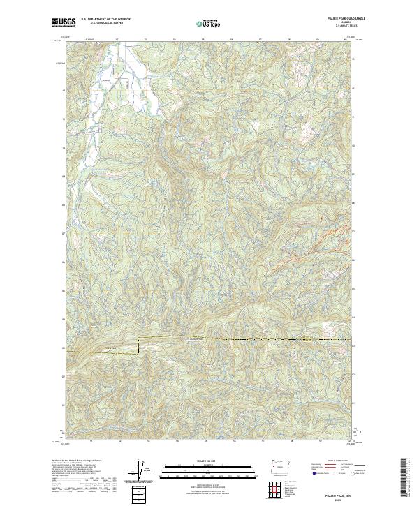
2023 Map of Prairie Peak
USGS Topo · Published 2023About this map
Prairie Peak and Prairie Mtn anchor this high-elevation landscape along the boundary of Benton and Lane Counties. The terrain is defined by a dense network of timber access roads and steep drainage systems, where the headwaters of the South Fork Alsea River and East Fork Lobster Creek begin their descent. Small-scale water management is visible at the Gygi and Engle Reservoir, while the ridge lines are traced by specialized paths like the Alsea Falls Loop Trl and the colorfully named Sexy Tree Trl. This area represents a modern working forest environment, punctuated by landmarks such as Gunsight Pass and Billy Tower Canyon, illustrating the intersection of industrial forestry, topography, and contemporary backcountry recreation in the Oregon Coast Range.
Find a feature on this map
66 named features on this map. Tap any name to fly to it.
Don’t see what you’re looking for? This feature index may not catch every label — zoom into the map to look around manually.
Map Details
Editions of this 2023 Prairie Peak Map
This is the sole edition of this map. No revisions or reprints were ever made.
Other maps of this area

1909 · Elmira
USGS Topo · 1:62,500

1922 · Monroe
USGS Topo · 1:62,500

1922 · Elmira
USGS Topo · 1:62,500

1939 · Monroe
USGS Topo · 1:62,500

1941 · Blachly
USGS Topo · 1:62,500

1942 · Alsea
USGS Topo · 1:62,500

1942 · Elmira
USGS Topo · 1:62,500

1942 · Blachly
USGS Topo · 1:62,500

1942 · Monroe
USGS Topo · 1:62,500

1953 · Salem
USGS Topo · 1:250,000