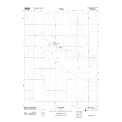
2012 Map of Prairie View
USGS Topo · Published 2012About this map
Prairie View serves as the central hub of this agricultural landscape in northern Phillips County, defined by a grid of rural roads and several meandering waterways. The town's layout is centered on the intersection of Main St and Kansas St, featuring essential civic landmarks like the Po and the nearby Van Pak Airport. The surrounding prairie is drained by a network of creeks, including Beaver Cr and Wolf Cr, which create natural breaks in the geometric section lines. For local historians and genealogists, the map identifies key burial sites such as Prairie View Cem and the more remote Luctor Cem to the northeast. Modern infrastructure is also present, represented by the Prairie View Wastewater Treatment Facility situated along Deer Cr.
Find a feature on this map
27 named features on this map. Tap any name to fly to it.
Don’t see what you’re looking for? This feature index may not catch every label — zoom into the map to look around manually.
Map Details
Editions of this 2012 Prairie View Map
This is the sole edition of this map. No revisions or reprints were ever made.
Other maps of this area

1893 · Norton
USGS Topo · 1:125,000

1893 · Phillipsburg
USGS Topo · 1:125,000

1955 · Beloit
USGS Topo · 1:250,000

1959 · Beloit
USGS Topo · 1:250,000
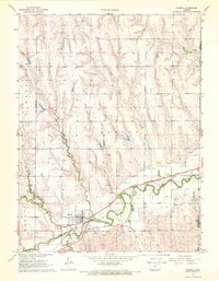
1967 · Almena
USGS Topo · 1:24,000
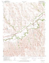
1967 · Long Island
USGS Topo · 1:24,000

1968 · Woodruff
USGS Topo · 1:24,000

1972 · Speed
USGS Topo · 1:24,000
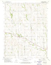
1973 · Stuttgart
USGS Topo · 1:24,000

1978 · Logan
USGS Topo · 1:24,000