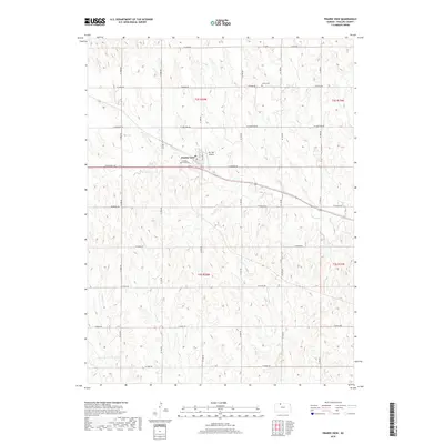
2018 Map of Prairie View
USGS Topo · Published 2018About this map
Prairie View serves as the primary settlement in this section of Phillips County, situated at the junction of several section-line roads in the northern Kansas plains. The landscape is defined by the drainage patterns of several seasonal watercourses, including Wildcat Cr in the northwest and Deer Cr winding through the central and eastern portions. The map shows the established grid system typical of the High Plains, where agricultural development is organized around these essential water sources. This 2018 survey provides a precise look at the contemporary layout of the town and its surrounding rural infrastructure, reflecting the long-standing importance of reliable water management and road connectivity in this farming region.
Find a feature on this map
3 named features on this map. Tap any name to fly to it.
Don’t see what you’re looking for? This feature index may not catch every label — zoom into the map to look around manually.
Map Details
Editions of this 2018 Prairie View Map
This is the sole edition of this map. No revisions or reprints were ever made.
Other maps of this area

1893 · Norton
USGS Topo · 1:125,000

1893 · Phillipsburg
USGS Topo · 1:125,000

1955 · Beloit
USGS Topo · 1:250,000

1959 · Beloit
USGS Topo · 1:250,000
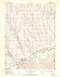
1967 · Almena
USGS Topo · 1:24,000
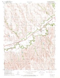
1967 · Long Island
USGS Topo · 1:24,000

1968 · Woodruff
USGS Topo · 1:24,000

1972 · Speed
USGS Topo · 1:24,000
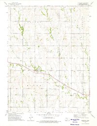
1973 · Stuttgart
USGS Topo · 1:24,000

1978 · Logan
USGS Topo · 1:24,000