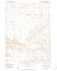
1950 Map of Prairie View School
USGS Topo · Published 1950About this map
Niobrara County ranchlands define this 1950 survey, conducted as part of the Department of the Interior's Missouri River Basin development program. The map documents a landscape of isolated homesteads and essential water sources, centered on the Prairie View Sch which served the surrounding community. Family-held lands are prominently marked, including the Hester Ranch, Richardson Ranch, and the neighboring Roy Robinson Ranch and Ted Robinson Ranch.
Find a feature on this map
10 named features on this map. Tap any name to fly to it.
Don’t see what you’re looking for? This feature index may not catch every label — zoom into the map to look around manually.
Map Details
Editions of this 1950 Prairie View School Map
2 editions found
Other maps of this area

1949 · Cedar Top
USGS Topo · 1:24,000

1950 · Amend Ranch
USGS Topo · 1:24,000

1950 · Cedar Top
USGS Topo · 1:24,000

1950 · Prairie View School
USGS Topo · 1:24,000

1950 · Jewel Springs
USGS Topo · 1:24,000

1954 · Torrington
USGS Topo · 1:250,000

1958 · Torrington
USGS Topo · 1:250,000
1961 · Jewel Springs
USGS Topo · 1:24,000

1970 · Lost Springs
USGS Topo · 1:24,000

1970 · Keeline
USGS Topo · 1:24,000