Loading...
Loading map...2024 Map of Prattsville
USGS Topo · Published 2024About this map
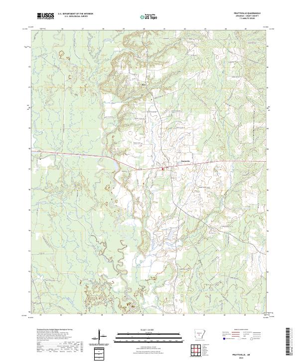
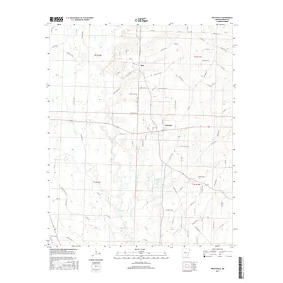
The Saline River winds south through Grant County, shaping a landscape defined by its complex network of bottomlands and tributaries. This 2024 survey captures the rural character surrounding Prattsville, where the community is situated near the confluence of Herbert Creek and the river valley. Further north, the settlement of Buie sits at a crossroads amidst a dense grid of timber access routes and county roads.
Find a feature on this map
85 named features on this map. Tap any name to fly to it.
Don’t see what you’re looking for? This feature index may not catch every label — zoom into the map to look around manually.
Map Details
Date Portrayed2024
Date Published2024
PublisherU.S. Geological Survey
Map TypeTopographic
Scale1:24,000
Physical Dimensions24 x 29 inches
Editions of this 2024 Prattsville Map
This is the sole edition of this map. No revisions or reprints were ever made.
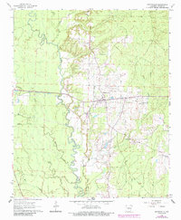
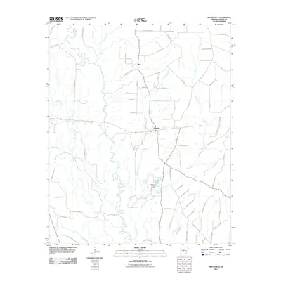
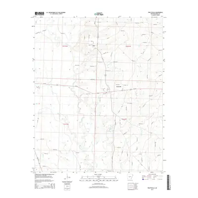
Historical Maps of Prattsville Through Time
6 maps found
Featured Locations
Source Details
SourceU.S. Geological Survey
CopyrightPublic Domain