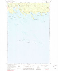
1964 Map of Prentiss Bay
USGS Topo · Published 1982About this map
Lake Superior State Forest dominates the northern reaches of this coastal Michigan landscape, where the wooded interior meets the jagged shoreline of Lake Huron. The map captures a specialized aquatic geography defined by hazardous shoals and points, including Martin Reef marked by a Light, and the expansive Surveyors Reef. This mid-century survey illustrates the interface between the wilderness of the state forest and the seasonal activity at Cedar Campus Camp near the mouth of Prentiss Creek.
Find a feature on this map
31 named features on this map. Tap any name to fly to it.
Don’t see what you’re looking for? This feature index may not catch every label — zoom into the map to look around manually.
Map Details
Editions of this 1964 Prentiss Bay Map
2 editions found
Other maps of this area

1931 · Pickford SE
USGS Topo · 1:31,680

1954 · Sault Sainte Marie
USGS Topo · 1:250,000

1955 · Cheboygan
USGS Topo · 1:250,000

1956 · Sault Sainte Marie
USGS Topo · 1:250,000

1957 · Sault Sainte Marie
USGS Topo · 1:250,000

1958 · Cheboygan
USGS Topo · 1:250,000

1958 · Sault Sainte Marie
USGS Topo · 1:250,000
1964 · Albany Island
USGS Topo · 1:24,000
1964 · Stalwart
USGS Topo · 1:24,000
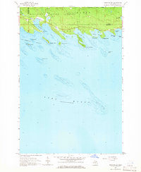
1964 · Prentiss Bay
USGS Topo · 1:24,000