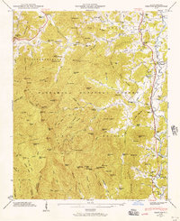
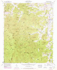
1946 Map of Prentiss
USGS Topo · Published 1957About this map
Nantahala National Forest dominates the high peaks and ridges of this 1946 survey, where the Appalachian Trail snakes along the crests of Albert Mtn and Pinnacle Mtn. In the valleys below, the Little Tennessee River and Cullasaja River provide the lifeblood for agricultural settlements like Prentiss and Otto. The eastern corridor is defined by the route of the Tallulah Falls Railroad, which parallels the river and connects local industry, including Addington Mill and McClure Mill. Community life is anchored by family-named landmarks and rural institutions such as Maidens Chapel, Newman Chapel, and the Allison-Watts Sch. The inclusion of the Coweeta Experiment Station highlights the region's importance for forest hydrology and environmental research during the mid-twentieth century.
Find a feature on this map
128 named features on this map. Tap any name to fly to it.
Don’t see what you’re looking for? This feature index may not catch every label — zoom into the map to look around manually.
Map Details
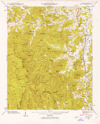
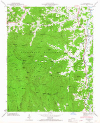
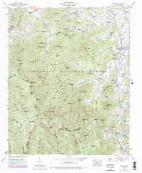
Editions of this 1946 Prentiss Map
5 editions found
Other maps of this area

1886 · Dahlonega
USGS Topo · 1:125,000

1886 · Walhalla
USGS Topo · 1:125,000

1891 · Cowee
USGS Topo · 1:125,000

1892 · Dahlonega
USGS Topo · 1:125,000

1892 · Walhalla
USGS Topo · 1:125,000

1896 · Walhalla
USGS Topo · 1:125,000

1896 · Dahlonega
USGS Topo · 1:125,000

1897 · Cowee
USGS Topo · 1:125,000

1903 · Dahlonega
USGS Topo · 1:125,000

1907 · Cowee
USGS Topo · 1:125,000