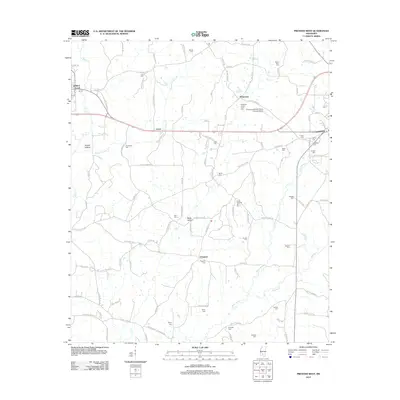
2012 Map of Prentiss West
USGS Topo · Published 2012About this map
Whitesand and the surrounding rural communities of Lucas and Progress define this Mississippi landscape, where a dense network of country roads connects family homesteads and local landmarks. The area is notable for its high concentration of family-named burial grounds, such as Patterson-Garner-Loftin Cem, Armstrong Cem, and Oatis Cem, which serve as vital markers for genealogical research. The topography is shaped by the winding paths of White Sand Cr and Silver Cr, creating several low-lying areas like Hooker Hollow and Watts Hollow. Modern infrastructure is represented by the Prentiss-Jefferson Davis County Airport, while the village of Silver Creek marks the northwestern corner. This era shows a settled agricultural region where historical land divisions and naming conventions remain deeply tied to the local families who established these communities.
Find a feature on this map
108 named features on this map. Tap any name to fly to it.
Don’t see what you’re looking for? This feature index may not catch every label — zoom into the map to look around manually.
Map Details
Editions of this 2012 Prentiss West Map
This is the sole edition of this map. No revisions or reprints were ever made.
Other maps of this area

1953 · Hattiesburg
USGS Topo · 1:250,000

1953 · Natchez
USGS Topo · 1:250,000

1956 · Natchez
USGS Topo · 1:250,000

1958 · Hattiesburg
USGS Topo · 1:250,000

1959 · Natchez
USGS Topo · 1:250,000

1970 · Prentiss West
USGS Topo · 1:24,000

1970 · Monticello
USGS Topo · 1:24,000

1970 · Bunker Hill
USGS Topo · 1:24,000

1970 · Oak Vale
USGS Topo · 1:24,000

1970 · New Hebron
USGS Topo · 1:24,000