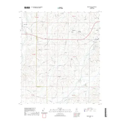
2020 Map of Prentiss West
USGS Topo · Published 2020About this map
Silver Creek and the western outskirts of Prentiss anchor this landscape along the border of Jefferson Davis and Lawrence counties. The area is defined by a dense network of family cemeteries and small rural settlements like Whitesand, Lucas, and Progress. The terrain is deeply dissected by drainage systems such as Dry Cr and Hooker Hollow Cr, which give rise to named landforms like Hooker Hollow and Watts Hollow.
Find a feature on this map
100 named features on this map. Tap any name to fly to it.
Don’t see what you’re looking for? This feature index may not catch every label — zoom into the map to look around manually.
Map Details
Editions of this 2020 Prentiss West Map
This is the sole edition of this map. No revisions or reprints were ever made.
Other maps of this area

1953 · Hattiesburg
USGS Topo · 1:250,000

1953 · Natchez
USGS Topo · 1:250,000

1956 · Natchez
USGS Topo · 1:250,000

1958 · Hattiesburg
USGS Topo · 1:250,000

1959 · Natchez
USGS Topo · 1:250,000

1970 · Prentiss West
USGS Topo · 1:24,000

1970 · Monticello
USGS Topo · 1:24,000

1970 · Bunker Hill
USGS Topo · 1:24,000

1970 · Oak Vale
USGS Topo · 1:24,000

1970 · New Hebron
USGS Topo · 1:24,000