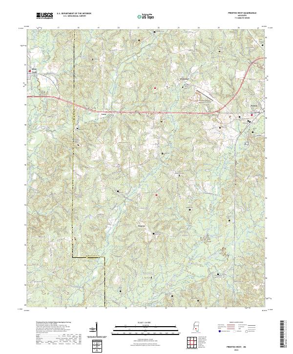
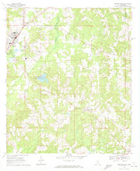
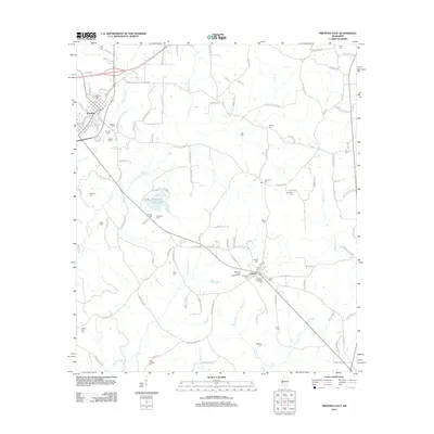
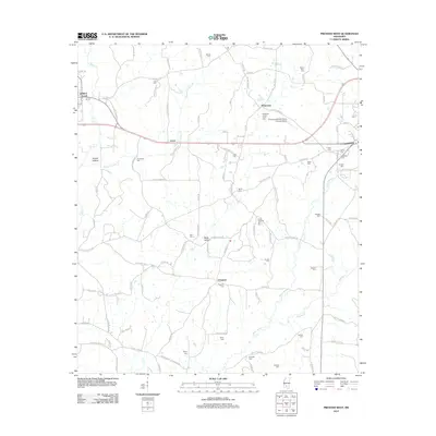
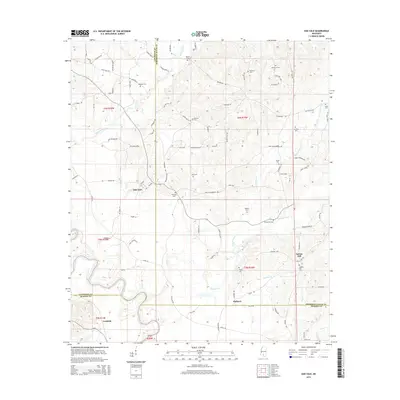
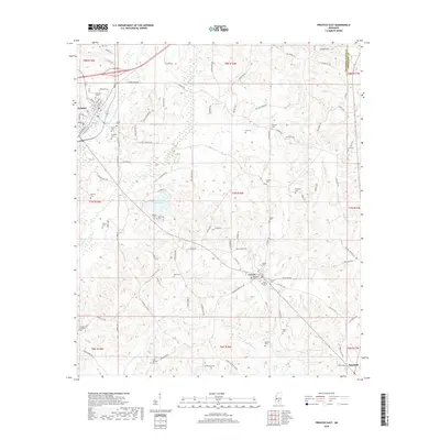
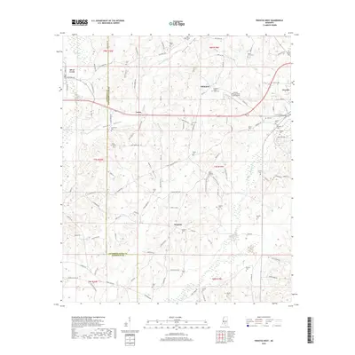
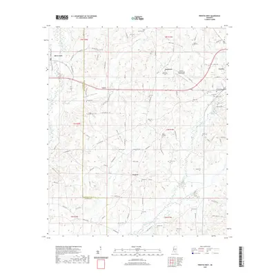
2024 Map of Prentiss West
USGS Topo · Published 2024About this map
Silver Creek flows through the western edge of this territory, where the Illinois Central Railroad corridor parallels the local road network. The landscape is heavily marked by small community settlements and genealogical landmarks, including a high concentration of family and church burial grounds. Notable sites such as the Patterson - Garner - Loftin Cem near Whitesand and the Francis Marion Burkett Cem to the south offer specific points of interest for local historians and family researchers.
Find a feature on this map
120 named features on this map. Tap any name to fly to it.
Don’t see what you’re looking for? This feature index may not catch every label — zoom into the map to look around manually.
Map Details
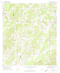
Editions of this 2024 Prentiss West Map
This is the sole edition of this map. No revisions or reprints were ever made.
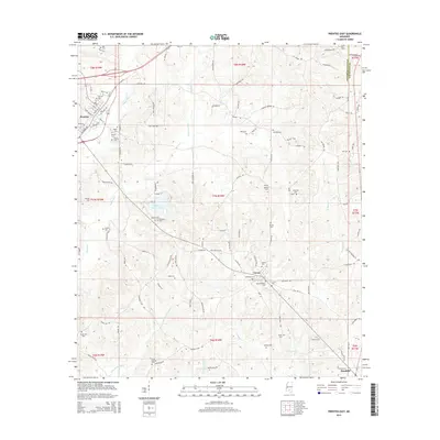
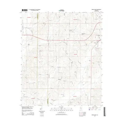
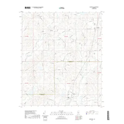
Historical Maps of Prentiss Through Time
36 maps found
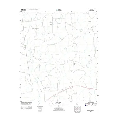
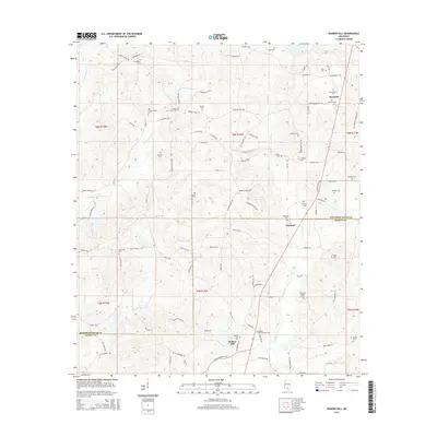
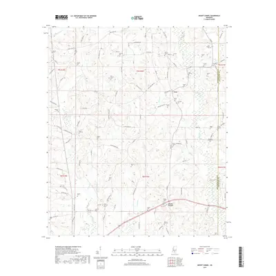
1970 Bunker Hill
Jefferson Davis County, MS
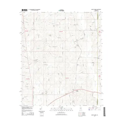
1970 Mount Carmel
Jefferson Davis County, MS
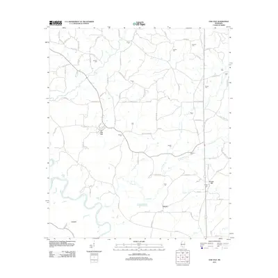
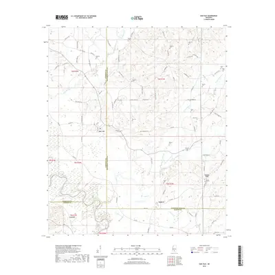
1970 Oak Vale
Jefferson Davis County, MS
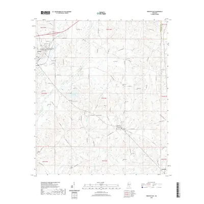
1970 Prentiss East
Jefferson Davis County, MS
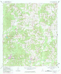
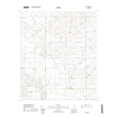
1970 Prentiss West
Jefferson Davis County, MS
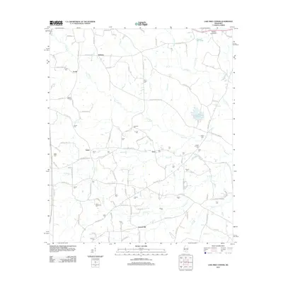
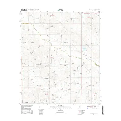
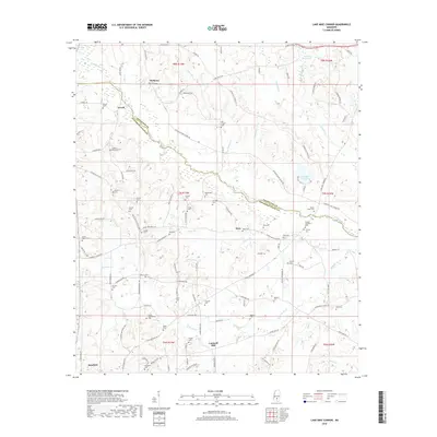
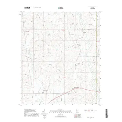
1974 Lake Mike Connor
Jefferson Davis County, MS
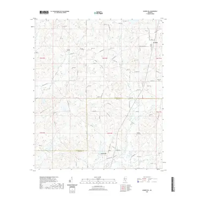
2012 Bunker Hill
Jefferson Davis County, MS
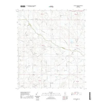
2012 Lake Mike Connor
Jefferson Davis County, MS
2012 Mount Carmel
Jefferson Davis County, MS
2012 Oak Vale
Jefferson Davis County, MS
2012 Prentiss East
Jefferson Davis County, MS
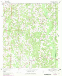
2012 Prentiss West
Jefferson Davis County, MS
2015 Bunker Hill
Jefferson Davis County, MS
2015 Lake Mike Connor
Jefferson Davis County, MS
2015 Mount Carmel
Jefferson Davis County, MS
2015 Oak Vale
Jefferson Davis County, MS
2015 Prentiss East
Jefferson Davis County, MS
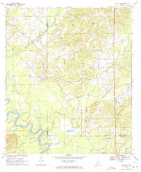
2015 Prentiss West
Jefferson Davis County, MS
2018 Bunker Hill
Jefferson Davis County, MS
2018 Lake Mike Connor
Jefferson Davis County, MS
2018 Mount Carmel
Jefferson Davis County, MS
2018 Oak Vale
Jefferson Davis County, MS
2018 Prentiss East
Jefferson Davis County, MS
2018 Prentiss West
Jefferson Davis County, MS
2020 Bunker Hill
Jefferson Davis County, MS
2020 Lake Mike Connor
Jefferson Davis County, MS
2020 Mount Carmel
Jefferson Davis County, MS
2020 Oak Vale
Jefferson Davis County, MS
2020 Prentiss East
Jefferson Davis County, MS
2020 Prentiss West
Jefferson Davis County, MS
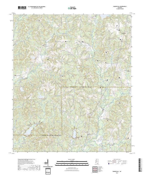
2024 Bunker Hill
Jefferson Davis County, MS
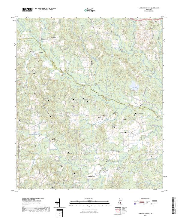
2024 Lake Mike Connor
Jefferson Davis County, MS
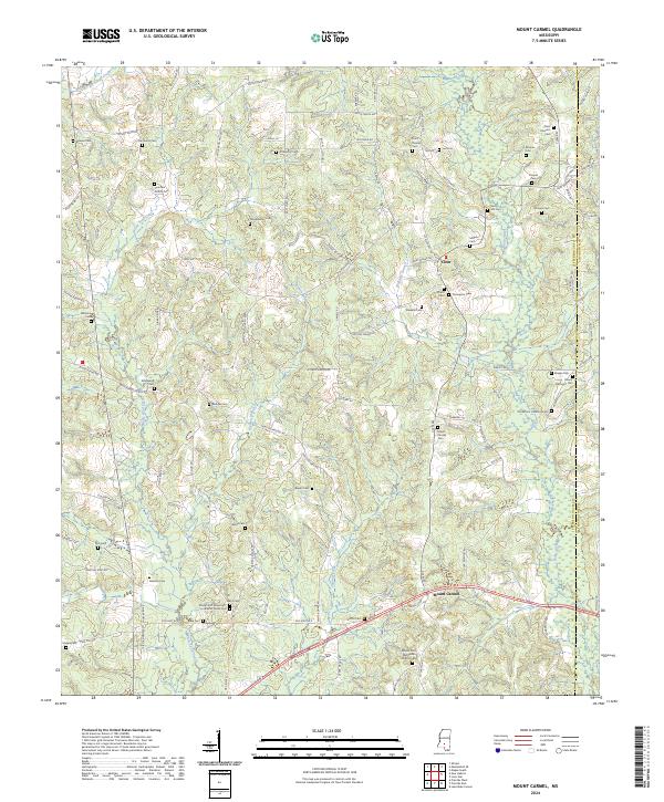
2024 Mount Carmel
Jefferson Davis County, MS
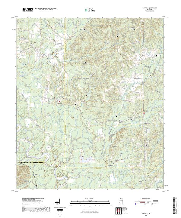
2024 Oak Vale
Jefferson Davis County, MS
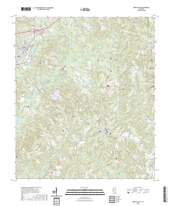
2024 Prentiss East
Jefferson Davis County, MS
2024 Prentiss West
Jefferson Davis County, MS