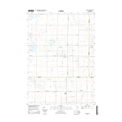
2014 Map of Prescott
USGS Topo · Published 2014About this map
Prescott serves as a central hub in this section of Ogemaw County, where the intersections of Sage Lake Rd, Greenwood Rd, and Melcher RD define the local transit pattern. The landscape is heavily marked by its hydrology, featuring a dense concentration of glacial lakes and creek systems including Hardwood Lake, Johnson Lake, and Cranberry Lake. This 2014 survey documents the rural character of the region as it transitions south into Maple Ridge across the Arenac County line. Local history is anchored by the Richland Cem near the junction of Sheffer Rd and Drow Rd. The drainage network, dominated by Whitney Cr, Crainer Cr, and Big Cr, illustrates the low-lying nature of the terrain between these small settlements.
Find a feature on this map
73 named features on this map. Tap any name to fly to it.
Don’t see what you’re looking for? This feature index may not catch every label — zoom into the map to look around manually.
Map Details
Editions of this 2014 Prescott Map
This is the sole edition of this map. No revisions or reprints were ever made.
Other maps of this area

1954 · Traverse City
USGS Topo · 1:250,000

1954 · Tawas City
USGS Topo · 1:250,000

1958 · Traverse City
USGS Topo · 1:250,000

1958 · Tawas City
USGS Topo · 1:250,000

1965 · Selkirk
USGS Topo · 1:24,000

1968 · Prescott
USGS Topo · 1:24,000

1968 · Whittemore
USGS Topo · 1:24,000

1968 · Sage Lake
USGS Topo · 1:24,000
1968 · Omer SW
USGS Topo · 1:24,000

1968 · Sterling
USGS Topo · 1:24,000