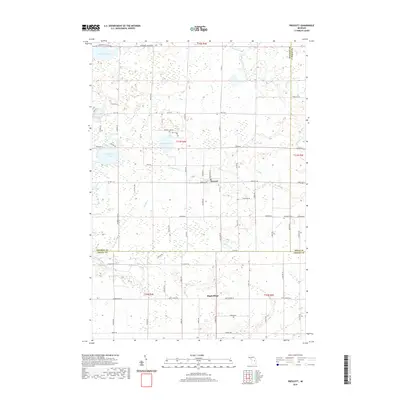
2019 Map of Prescott
USGS Topo · Published 2019About this map
Prescott sits at the junction of several county roads along the northern edge of the Arenac County line, serving as a focal point for the surrounding rural townships. The landscape is characterized by a high concentration of small, spring-fed water bodies including Hardwood Lake, Johnson Lake, and Cranberry Lake, which are interconnected by a network of drainage ways like Johnson Cr and Whitney Cr. These wetlands and lakes shape the local road grid, forcing routes like Johnson Lake Rd and Cranberry Lake Rd to navigate between the basins.
Find a feature on this map
79 named features on this map. Tap any name to fly to it.
Don’t see what you’re looking for? This feature index may not catch every label — zoom into the map to look around manually.
Map Details
Editions of this 2019 Prescott Map
This is the sole edition of this map. No revisions or reprints were ever made.
Other maps of this area

1954 · Traverse City
USGS Topo · 1:250,000

1954 · Tawas City
USGS Topo · 1:250,000

1958 · Traverse City
USGS Topo · 1:250,000

1958 · Tawas City
USGS Topo · 1:250,000

1965 · Selkirk
USGS Topo · 1:24,000

1968 · Prescott
USGS Topo · 1:24,000

1968 · Whittemore
USGS Topo · 1:24,000

1968 · Sage Lake
USGS Topo · 1:24,000
1968 · Omer SW
USGS Topo · 1:24,000

1968 · Sterling
USGS Topo · 1:24,000