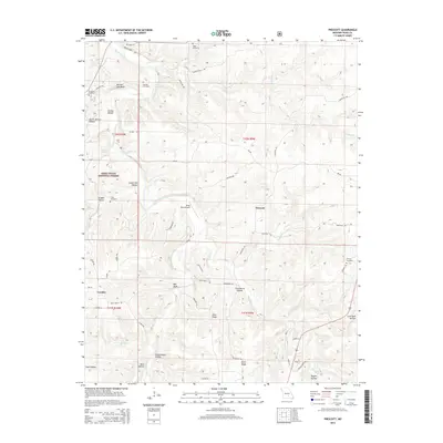
2015 Map of Prescott
USGS Topo · Published 2015About this map
Prescott and the surrounding Texas County landscape are defined by the winding course of the Big Piney River, which carves through a series of bluffs and hollows. The river's influence is evident in landmarks like Boiling Spring and Narrow Gap Bluff, while the higher ground of the Mark Twain National Forest contains distinct local features such as Elmo Ridge and Dzurk Ridge. The area's genealogical record is well-represented through numerous family and community burial grounds, including Antioch Cemetery, Cavaness Cemetery, and Burnett Cemetery. Transport and local utility are reflected in the presence of the Piney Bend Airport near the river bend and the small settlement of Venable. The naming of numerous draws like Schoolhouse Hollow and Steam Mill Hollow suggests the locations of earlier community hubs and industry that once operated along the local tributaries.
Find a feature on this map
60 named features on this map. Tap any name to fly to it.
Don’t see what you’re looking for? This feature index may not catch every label — zoom into the map to look around manually.
Map Details
Editions of this 2015 Prescott Map
This is the sole edition of this map. No revisions or reprints were ever made.
Other maps of this area

1937 · Edgar Springs
USGS Topo · 1:48,000

1941 · Big Piney
USGS Topo · 1:62,500

1941 · Bado
USGS Topo · 1:62,500

1943 · Big Piney
USGS Topo · 1:62,500

1943 · Bado
USGS Topo · 1:62,500

1945 · Edgar Springs
USGS Topo · 1:62,500

1949 · Rolla
USGS Topo · 1:250,000

1951 · Licking
USGS Topo · 1:24,000

1951 · Raymondville
USGS Topo · 1:24,000

1951 · Prescott
USGS Topo · 1:24,000