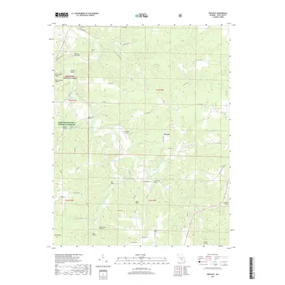
2017 Map of Prescott
USGS Topo · Published 2017About this map
The Big Piney River carves a winding path through this portion of Texas County, defining the topography of the Mark Twain National Forest. The small community of Prescott serves as a central point in a landscape marked by numerous hollows and ridges, such as Elmo Ridge and Schoolhouse Hollow. Water is a primary feature of the local geography, represented by the Boiling Spring and Burnett Spring, along with the confluence of Boone Creek and Arthur Cr. Genealogists will find several burial sites preserved on the landscape, including Burnett Cem, Sliger Cem, and Antioch Cem. The inclusion of the Piney Bend Airport near the river bend illustrates the modern navigation and transport infrastructure integrated into this rural Missouri setting.
Find a feature on this map
64 named features on this map. Tap any name to fly to it.
Don’t see what you’re looking for? This feature index may not catch every label — zoom into the map to look around manually.
Map Details
Editions of this 2017 Prescott Map
This is the sole edition of this map. No revisions or reprints were ever made.
Other maps of this area

1937 · Edgar Springs
USGS Topo · 1:48,000

1941 · Big Piney
USGS Topo · 1:62,500

1941 · Bado
USGS Topo · 1:62,500

1943 · Big Piney
USGS Topo · 1:62,500

1943 · Bado
USGS Topo · 1:62,500

1945 · Edgar Springs
USGS Topo · 1:62,500

1949 · Rolla
USGS Topo · 1:250,000

1951 · Licking
USGS Topo · 1:24,000

1951 · Raymondville
USGS Topo · 1:24,000

1951 · Prescott
USGS Topo · 1:24,000