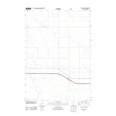
2012 Map of Presho NW
USGS Topo · Published 2012About this map
Medicine Creek and Stony Butte Creek wind through this Lyman County landscape, defining the drainage patterns of the high plains. The map illustrates the transition of regional transportation, capturing the alignment of Old Hwy 16 as it runs parallel to the modern interstate corridor. These local routes, including Co Hwy-25 and 300th Ave, follow the section lines of the Public Land Survey System, reflecting the structured agricultural settlement of the South Dakota prairie. This 2012 survey provides a clear view of the rural infrastructure, where gravel section roads and intermittent stream beds are the primary landmarks across the open range.
Find a feature on this map
5 named features on this map. Tap any name to fly to it.
Don’t see what you’re looking for? This feature index may not catch every label — zoom into the map to look around manually.
Map Details
Editions of this 2012 Presho NW Map
This is the sole edition of this map. No revisions or reprints were ever made.
Other maps of this area

1954 · Pierre
USGS Topo · 1:250,000

1955 · Martin
USGS Topo · 1:250,000

1958 · Pierre
USGS Topo · 1:250,000

1958 · Martin
USGS Topo · 1:250,000

1966 · Ft. George Butte SE
USGS Topo · 1:24,000

1967 · Ft. George Butte SW
USGS Topo · 1:24,000

1972 · Pierre 3 SE
USGS Topo · 1:24,000

1972 · Vivian
USGS Topo · 1:24,000

1972 · Vivian SE
USGS Topo · 1:24,000
1978 · Presho
USGS Topo · 1:24,000