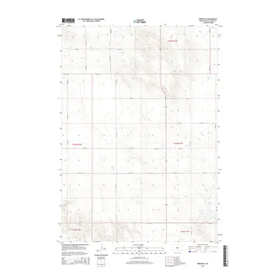
2015 Map of Presho SE
USGS Topo · Published 2015About this map
Mill Iron Cr meanders across this rural expanse of Lyman County, defining the drainage patterns of a landscape segmented by a precise grid of sectional roads. This portion of South Dakota is characterized by its agricultural geometry, where long straightaways like 304th Ave and 308th Ave intersect at regular intervals, marking the boundaries of vast townships. In the northeastern corner, Nail Creek Lake provides a rare perennial water feature in an otherwise open prairie environment. The terrain is marked by gentle elevation changes and seasonal drainages, illustrating the characteristic topography of the Missouri Plateau region during the mid-2010s. The absence of concentrated town centers highlights the area's identity as a strictly rural production landscape, where the primary infrastructure consists of the county road network serving isolated ranching or farming operations.
Find a feature on this map
19 named features on this map. Tap any name to fly to it.
Don’t see what you’re looking for? This feature index may not catch every label — zoom into the map to look around manually.
Map Details
Editions of this 2015 Presho SE Map
This is the sole edition of this map. No revisions or reprints were ever made.
Other maps of this area

1951 · Presho 4 NE
USGS Topo · 1:24,000

1951 · Ideal NW
USGS Topo · 1:24,000

1951 · Presho 4 NW
USGS Topo · 1:24,000

1955 · Martin
USGS Topo · 1:250,000

1955 · Mitchell
USGS Topo · 1:250,000

1958 · Martin
USGS Topo · 1:250,000

1959 · Mitchell
USGS Topo · 1:250,000
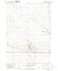
1978 · Presho
USGS Topo · 1:24,000
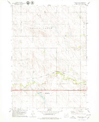
1978 · Brakke Dam
USGS Topo · 1:24,000

1978 · Kennebec SW
USGS Topo · 1:24,000