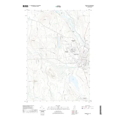
2018 Map of Presque Isle
USGS Topo · Published 2018About this map
Presque Isle serves as the focal point of this Aroostook County landscape, situated at the confluence where Presque Isle Stream meets the Aroostook River. The map details a significant educational and infrastructure hub, featuring the Univ of Maine at Presque Isle, Northern Maine Community College, and the sprawling Northern Maine Regional Airport at Presque Isle. Surrounding the city center, the terrain is defined by prominent elevations like Griffin Ridge, Hobart Hill, and Haines Hill, while the outlying settlements of Rands and Spragueville mark the rural transitions. Genealogists can identify several historic burial grounds, including Fairmount Cem, Saint Marys Cem, and Johnson Cem. The hydrology is particularly dense, with Arnold Brook Lake, Hanson Lake, and numerous smaller waterways like Knights Brook and Bulls Brook carving through the northern Maine countryside.
Find a feature on this map
98 named features on this map. Tap any name to fly to it.
Don’t see what you’re looking for? This feature index may not catch every label — zoom into the map to look around manually.
Map Details
Editions of this 2018 Presque Isle Map
This is the sole edition of this map. No revisions or reprints were ever made.
Other maps of this area

1929 · Caribou
USGS Topo · 1:48,000

1930 · Fort Fairfield
USGS Topo · 1:48,000

1932 · Caribou
USGS Topo · 1:62,500

1933 · Fort Fairfield
USGS Topo · 1:62,500

1935 · Presque Isle
USGS Topo · 1:62,500

1936 · Mars Hill
USGS Topo · 1:48,000

1940 · Mars Hill
USGS Topo · 1:62,500

1951 · Mars Hill
USGS Topo · 1:62,500

1951 · Fort Fairfield
USGS Topo · 1:62,500

1953 · Presque Isle
USGS Topo · 1:62,500