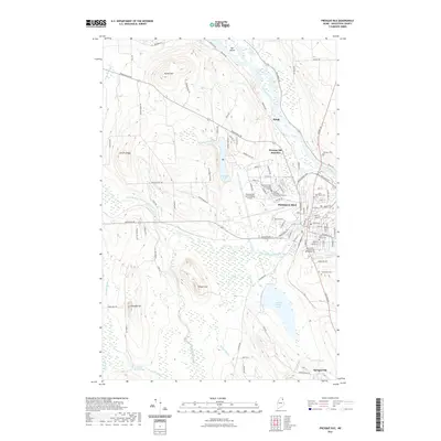
2021 Map of Presque Isle
USGS Topo · Published 2021About this map
The Aroostook River winds through this northern Maine landscape, anchoring a region defined by its educational institutions and transportation hubs. Presque Isle serves as the primary center, home to the University of Maine at Presque Isle and Northern Maine Community College, while the Presque Isle International Airport occupies a significant footprint to the west. The layout of the town is densely mapped, showing a transition from the structured street grid near Mantle Lake to the more dispersed outlying settlements like Spragueville and Rands.
Find a feature on this map
102 named features on this map. Tap any name to fly to it.
Don’t see what you’re looking for? This feature index may not catch every label — zoom into the map to look around manually.
Map Details
Editions of this 2021 Presque Isle Map
This is the sole edition of this map. No revisions or reprints were ever made.
Other maps of this area

1929 · Caribou
USGS Topo · 1:48,000

1930 · Fort Fairfield
USGS Topo · 1:48,000

1932 · Caribou
USGS Topo · 1:62,500

1933 · Fort Fairfield
USGS Topo · 1:62,500

1935 · Presque Isle
USGS Topo · 1:62,500

1936 · Mars Hill
USGS Topo · 1:48,000

1940 · Mars Hill
USGS Topo · 1:62,500

1951 · Mars Hill
USGS Topo · 1:62,500

1951 · Fort Fairfield
USGS Topo · 1:62,500

1953 · Presque Isle
USGS Topo · 1:62,500