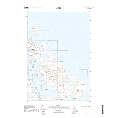
2019 Map of Presque Isle
USGS Topo · Published 2019About this map
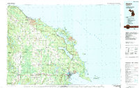
Presque Isle is a distinctive peninsula extending into Lake Huron, defined by its complex shoreline of bays, points, and interior lakes. The settlement of Harbor View and the residential layout around Presque Isle Harbor illustrate a community deeply connected to the water. Further south, the landscape transitions from the residential areas of Presque Isle to the industrial operations at Stoneport on the eastern shore.
Find a feature on this map
69 named features on this map. Tap any name to fly to it.
Don’t see what you’re looking for? This feature index may not catch every label — zoom into the map to look around manually.
Map Details
Editions of this 2019 Presque Isle Map
This is the sole edition of this map. No revisions or reprints were ever made.
Other maps of this area

1954 · Alpena
USGS Topo · 1:250,000

1957 · Alpena
USGS Topo · 1:250,000

1958 · Alpena
USGS Topo · 1:250,000

1969 · Alpena
USGS Topo · 1:250,000
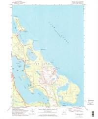
1971 · Presque Isle
USGS Topo · 1:24,000

1971 · Long Lake West
USGS Topo · 1:24,000
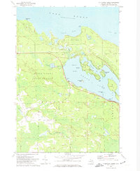
1971 · Thompsons Harbor
USGS Topo · 1:24,000

1971 · Middle Island
USGS Topo · 1:24,000
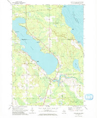
1971 · Long Lake East
USGS Topo · 1:24,000
1984 · Alpena
USGS Topo · 1:100,000
Featured Places
- Presque Isle, MI
- Presque Isle Township, MI
- Harbor View, MI
- Lafarge Limestone Quarry, MI
- Presque Isle County, MI