
1971 Map of Middle Island
USGS Topo · Published 1974About this map
Middle Island stands as the central landmark of this Lake Huron survey, featuring a prominent Lighthouse that guided maritime traffic along the coastline of Alpena Twp. The shoreline is defined by several distinct landforms, including Monaghan Point and North Point, which frame the sheltered waters of Morris Bay. Further inland, the northern reaches of Long Lake and the smaller Grass Lake dominate the terrestrial landscape, surrounded by the protected grounds of the Thunder Bay River State Forest. Local industry and infrastructure are represented by a Gravel Pit near Bloom Road and the Baarlee Landing Strip near the coast. This map illustrates the transition from the aquatic depths of Lake Huron to the wooded and marshy interior of Michigan's northeast coast, providing a clear record of local geography and navigational markers in the early 1970s.
Find a feature on this map
19 named features on this map. Tap any name to fly to it.
Don’t see what you’re looking for? This feature index may not catch every label — zoom into the map to look around manually.
Map Details
Editions of this 1971 Middle Island Map
This is the sole edition of this map. No revisions or reprints were ever made.
Other maps of this area

1954 · Alpena
USGS Topo · 1:250,000

1957 · Alpena
USGS Topo · 1:250,000

1958 · Alpena
USGS Topo · 1:250,000

1969 · Alpena
USGS Topo · 1:250,000
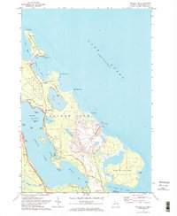
1971 · Presque Isle
USGS Topo · 1:24,000

1971 · Alpena
USGS Topo · 1:24,000
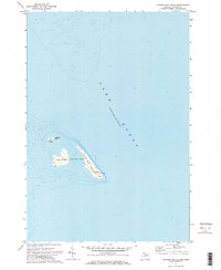
1971 · Thunder Bay Island
USGS Topo · 1:24,000

1971 · North Point
USGS Topo · 1:24,000
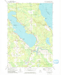
1971 · Long Lake East
USGS Topo · 1:24,000
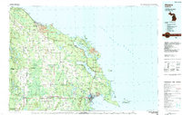
1984 · Alpena
USGS Topo · 1:100,000