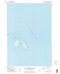
1971 Map of Thunder Bay Island
USGS Topo · Published 1974About this map
Thunder Bay Island and its neighboring landforms emerge from the waters of Lake Huron in this survey of the northeastern Michigan coastline. This island group within Alpena Twp is defined by a landscape of shallow shoals and isolation, anchored by a historic Lighthouse on the eastern tip of the primary island. The map preserves the precise mid-century topography of these islands before modern automated systems or changing lake levels altered their character.
Find a feature on this map
7 named features on this map. Tap any name to fly to it.
Don’t see what you’re looking for? This feature index may not catch every label — zoom into the map to look around manually.
Map Details
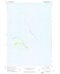
Editions of this 1971 Thunder Bay Island Map
2 editions found
Other maps of this area

1954 · Tawas City
USGS Topo · 1:250,000

1954 · Alpena
USGS Topo · 1:250,000

1957 · Alpena
USGS Topo · 1:250,000

1958 · Alpena
USGS Topo · 1:250,000

1958 · Tawas City
USGS Topo · 1:250,000

1969 · Alpena
USGS Topo · 1:250,000

1971 · Middle Island
USGS Topo · 1:24,000

1971 · North Point
USGS Topo · 1:24,000
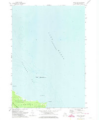
1971 · South Point
USGS Topo · 1:24,000

1983 · Hubbard Lake
USGS Topo · 1:100,000