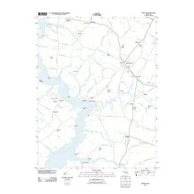
2011 Map of Preston
USGS Topo · Published 2011About this map
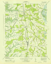
The Choptank River carves a winding path through this Eastern Shore landscape, defining the boundaries of local life near the turn of the 21st century. The town of Preston sits as a central hub, surrounded by smaller historical settlements such as Bethlehem, Linchester, and Beulah. This area is particularly dense with sites of genealogical interest, including the Maryland Veterans Cemetery and the notable Linchester Mill, which speaks to the region's long-standing agricultural and milling heritage.
Find a feature on this map
92 named features on this map. Tap any name to fly to it.
Don’t see what you’re looking for? This feature index may not catch every label — zoom into the map to look around manually.
Map Details
Editions of this 2011 Preston Map
This is the sole edition of this map. No revisions or reprints were ever made.
Other maps of this area

1898 · Choptank
USGS Topo · 1:125,000

1904 · St. Michaels
USGS Topo · 1:62,500

1904 · Oxford
USGS Topo · 1:62,500

1905 · Denton
USGS Topo · 1:62,500

1905 · Hurlock
USGS Topo · 1:62,500

1908 · Choptank
USGS Topo · 1:125,000
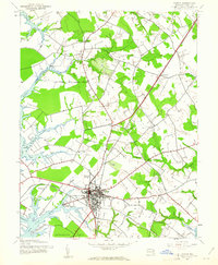
1942 · Easton
USGS Topo · 1:24,000
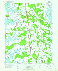
1942 · Trappe
USGS Topo · 1:24,000
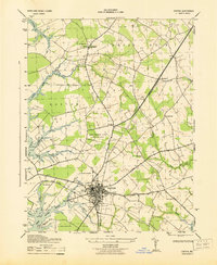
1943 · Easton
USGS Topo · 1:31,680
1943 · Trappe
USGS Topo · 1:31,680