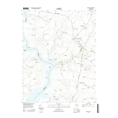
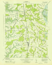
2014 Map of Preston
USGS Topo · Published 2014About this map
The Choptank River carves a winding path through this corner of the Eastern Shore, defining the boundaries between Talbot, Caroline, and Dorchester Counties. Along its banks, several prominent necks and points like Frazier Neck and Poplar Point illustrate the region's historic reliance on water access for commerce and transit. The settlement of Preston stands as a central hub, surrounded by smaller communities such as Linchester, Beulah, and Bethlehem.
Find a feature on this map
115 named features on this map. Tap any name to fly to it.
Don’t see what you’re looking for? This feature index may not catch every label — zoom into the map to look around manually.
Map Details
Editions of this 2014 Preston Map
This is the sole edition of this map. No revisions or reprints were ever made.
Other maps of this area

1898 · Choptank
USGS Topo · 1:125,000

1904 · St. Michaels
USGS Topo · 1:62,500

1904 · Oxford
USGS Topo · 1:62,500

1905 · Denton
USGS Topo · 1:62,500

1905 · Hurlock
USGS Topo · 1:62,500

1908 · Choptank
USGS Topo · 1:125,000
1942 · Easton
USGS Topo · 1:24,000
1942 · Trappe
USGS Topo · 1:24,000
1943 · Easton
USGS Topo · 1:31,680
1943 · Trappe
USGS Topo · 1:31,680