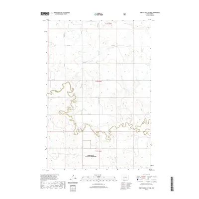
2020 Map of Pretty Rock Butte SE
USGS Topo · Published 2020About this map
Cedar River National Grassland dominates the southern landscape of this Missouri Plateau region, where the winding course of Cedar Creek carves a complex drainage network through the prairie. This 2020 survey illustrates the high-plains topography at the border of Grant and Sioux Counties, defined by a systematic grid of section lines and rural thoroughfares such as Elgin Rd and Co Rd. The hydrology of the area is characterized by intermittent drainages including Brushy Cr, Turtle Cr, and Alkali Cr, which feed into the larger Cedar Creek basin. This cartographic study provides a precise record of contemporary land management and grazing boundaries within the National Grassland system, showing the persistent section-line road patterns that have defined North Dakota's agricultural and ranching geography for over a century.
Find a feature on this map
20 named features on this map. Tap any name to fly to it.
Don’t see what you’re looking for? This feature index may not catch every label — zoom into the map to look around manually.
Map Details
Editions of this 2020 Pretty Rock Butte SE Map
This is the sole edition of this map. No revisions or reprints were ever made.
Other maps of this area

1953 · McIntosh
USGS Topo · 1:250,000

1954 · Bismarck
USGS Topo · 1:250,000

1958 · Bismarck
USGS Topo · 1:250,000

1958 · McIntosh
USGS Topo · 1:250,000

1972 · Wheeler Hills
USGS Topo · 1:24,000

1972 · Coffin Buttes
USGS Topo · 1:24,000

1972 · Pretty Rock Butte
USGS Topo · 1:24,000

1972 · Morristown
USGS Topo · 1:24,000

1972 · Pretty Rock Butte SE
USGS Topo · 1:24,000

1972 · Round Top
USGS Topo · 1:24,000
Featured Places
- Menz Township, Porcupine District
- Porcupine District, ND
- Grant County, ND
- Sioux County, ND
- United States